MyTopo
Nestlow West Virginia US Topo Map
Couldn't load pickup availability
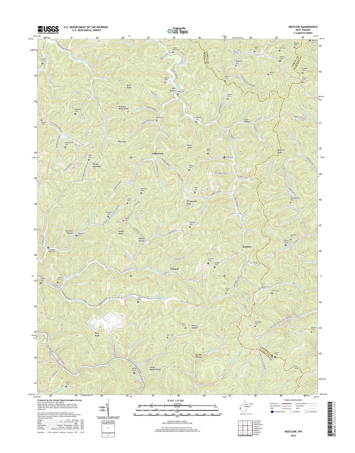
2023 topographic map quadrangle Nestlow in the state of West Virginia. Scale: 1:24000. Based on the newly updated USGS 7.5' US Topo map series, this map is in the following counties: Wayne, Lincoln, Cabell. The map contains contour data, water features, and other items you are used to seeing on USGS maps, but also has updated roads and other features. This is the next generation of topographic maps. Printed on high-quality waterproof paper with UV fade-resistant inks.
Quads adjacent to this one:
West: Wayne
Northwest: Lavalette
North: Winslow
Northeast: West Hamlin
East: Branchland
Southeast: Ranger
South: Kiahsville
Southwest: Radnor
This map covers the same area as the classic USGS quad with code o38082b3.
Contains the following named places: Adkins Cemetery, Albright Cemetery, Alum Rock Branch, Asbury Cemetery, Asbury Hollow, Bates Branch, Beckelheimer Cemetery, Beech Fork Church, Beech Fork School, Big Branch, Bing Gap, Blankenship Cemetery, Bradshaw Cemetery, Buck Branch, Buck Knob, Buzzard Roost Knob, Calf Branch, Camp Branch, Camp Creek School, Carter Branch, Cedar Branch, Cedar Cliff Cemetery, Clay Cemetery, Coal Hollow, Covington--Ross Cemetery, Crockett Cemetery, Crockett Fork, Davidson Cemetery, Davis Cemetery, Davis Fork, Drenner Cemetery, Drenner Hollow, East Lynn Church, Elkins Branch, Falls Branch, Fort Branch, Gilkerson, Gilkerson Branch, Gilles Branch, Girard, Hobbs Cemetery, Horse Hollow, Isaacs Cemetery, Jones Cemetery, Keesee Cemetery, Left Fork Camp Creek, Left Fork Millers Fork, Liberty Church, Lick Branch, Lower Laurel School, Lynn Cemetery, Mars Cemetery, Massey Cemetery, Mays Knob, Mill Cemetery, Mill Hollow, Miller Cemetery, Mills Cemetery, Milt Adkins Fork, Morrison Cemetery, Murder Hollow, Nestlow, Nestlow Branch, Osburn Cemetery, Parsons Cemetery, Peter Cave Branch, Price Branch, Queen Branch, Ramey Cemetery, Right Fork Beech Fork, Right Fork Camp Creek, Right Fork Little Lynn Creek, Ross Cemetery, Saddle Knob, Sanders Cemetery, Sanson Cemetery, Sellards Branch, Shepherd Cemetery, Shingle Branch, Skeens Cemetery, Squirrel Knob, Stephens Fork, Stevens Branch, Stevens Cemetery, Sulphur Spring Branch, Sweet Potato Knob, Tabor Cemetery, Tallclay Cemetery, Tiger Fork, Trace Branch, Turkeycamp Branch, Turkeycamp Knob, Upper Laurel School, Ward Branch, Watson Cemetery, Windy Oak Knob, Wolfpen Branch, Wolfpen Church, ZIP Code: 25512


