MyTopo
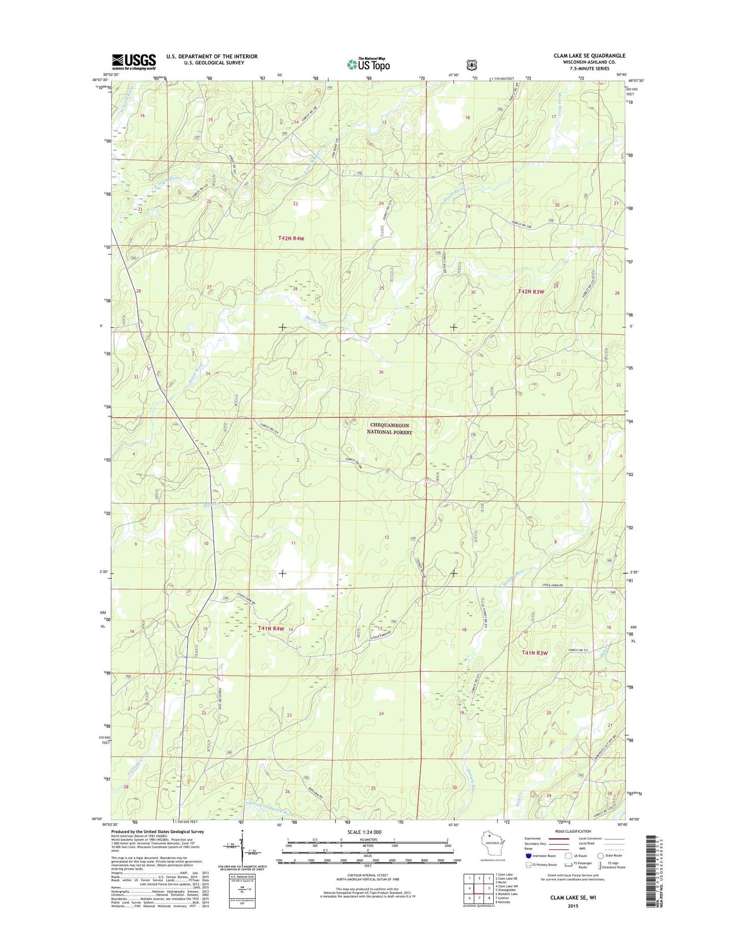
Clam Lake SE Wisconsin US Topo Map
Couldn't load pickup availability
Also explore the Clam Lake SE Forest Service Topo of this same quad for updated USFS data
2022 topographic map quadrangle Clam Lake SE in the state of Wisconsin. Scale: 1:24000. Based on the newly updated USGS 7.5' US Topo map series, this map is in the following counties: Ashland. The map contains contour data, water features, and other items you are used to seeing on USGS maps, but also has updated roads and other features. This is the next generation of topographic maps. Printed on high-quality waterproof paper with UV fade-resistant inks.
Quads adjacent to this one:
West: Clam Lake SW
Northwest: Clam Lake
North: Clam Lake NE
Northeast: Morse
East: Shanagolden
Southeast: Kennedy
South: Loretta
Southwest: Blaisdell Lake
This map covers the same area as the classic USGS quad with code o46090a7.
Contains the following named places: Chequamegon National Forest, NYA Camp, Town of Shanagolden