MyTopo
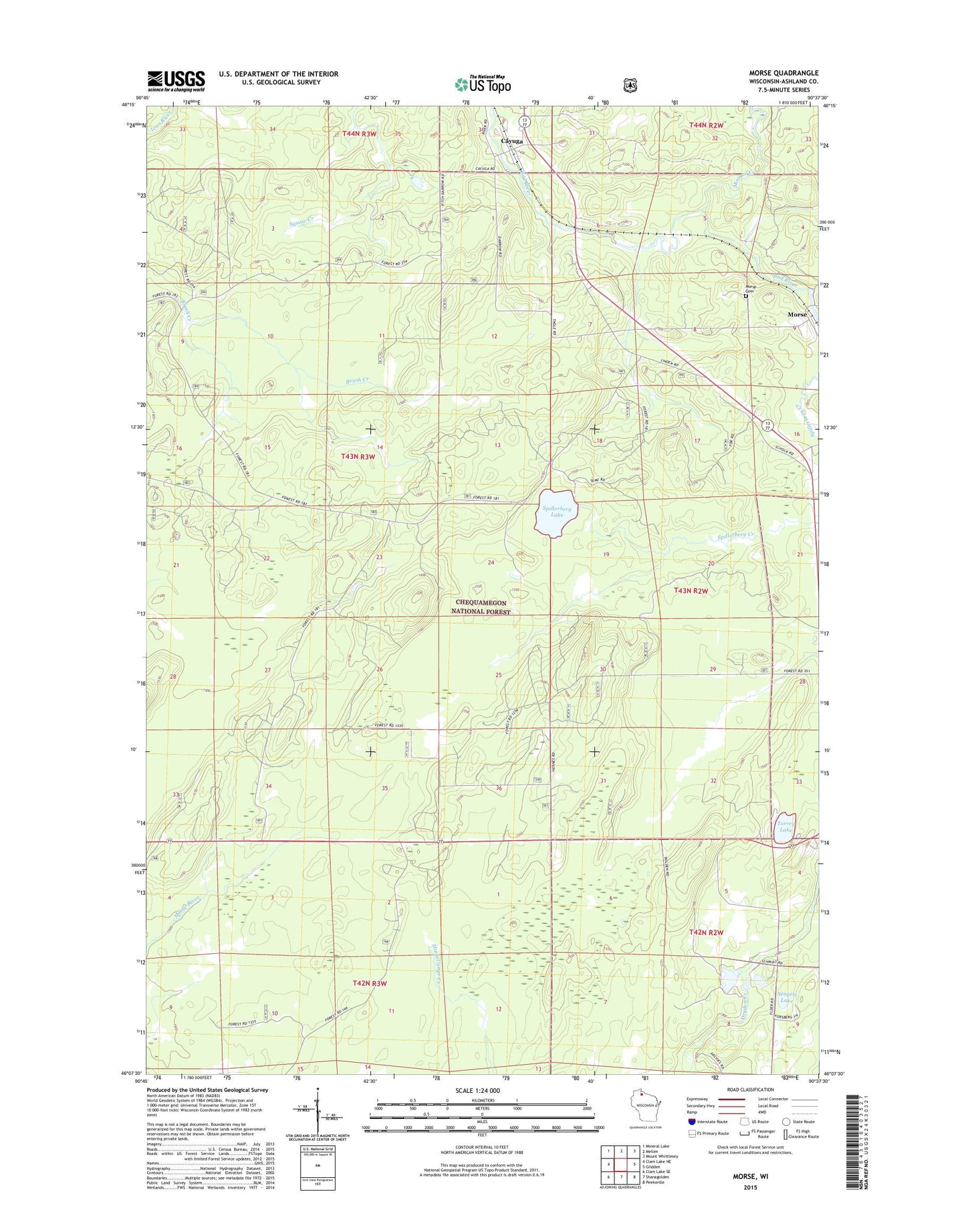
Morse Wisconsin US Topo Map
Couldn't load pickup availability
Also explore the Morse Forest Service Topo of this same quad for updated USFS data
2023 topographic map quadrangle Morse in the state of Wisconsin. Scale: 1:24000. Based on the newly updated USGS 7.5' US Topo map series, this map is in the following counties: Ashland. The map contains contour data, water features, and other items you are used to seeing on USGS maps, but also has updated roads and other features. This is the next generation of topographic maps. Printed on high-quality waterproof paper with UV fade-resistant inks.
Quads adjacent to this one:
West: Clam Lake NE
Northwest: Mineral Lake
North: Mellen
Northeast: Mount Whittlesey
East: Glidden
Southeast: Peeksville
South: Shanagolden
Southwest: Clam Lake SE
This map covers the same area as the classic USGS quad with code o46090b6.
Contains the following named places: Bad River Recreation Site, Cayuga, Minnow Creek, Morse, Morse Cemetery, Popcorn Corners, Seagels Lake, Spillerberg Lake, Torrey Lake, Town of Gordon, ZIP Code: 54527