MyTopo
Kennedy Wisconsin US Topo Map
Couldn't load pickup availability
Also explore the Kennedy Forest Service Topo of this same quad for updated USFS data
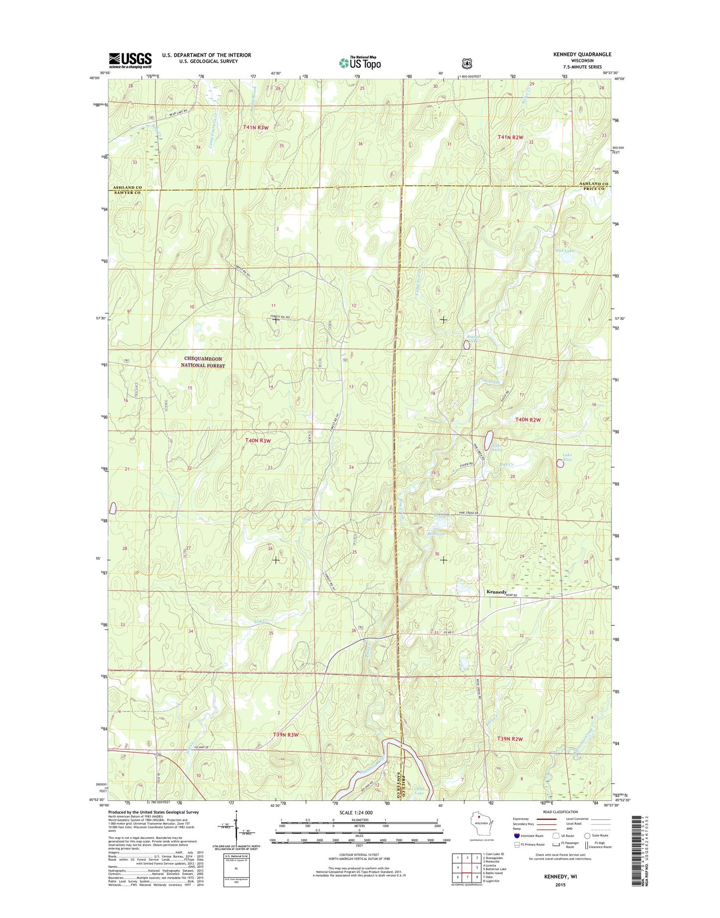
2022 topographic map quadrangle Kennedy in the state of Wisconsin. Scale: 1:24000. Based on the newly updated USGS 7.5' US Topo map series, this map is in the following counties: Sawyer, Price, Ashland. The map contains contour data, water features, and other items you are used to seeing on USGS maps, but also has updated roads and other features. This is the next generation of topographic maps. Printed on high-quality waterproof paper with UV fade-resistant inks.
Quads adjacent to this one:
West: Loretta
Northwest: Clam Lake SE
North: Shanagolden
Northeast: Peeksville
East: Butternut Lake
Southeast: Lugerville
South: Oxbo
Southwest: Babbs Island
This map covers the same area as the classic USGS quad with code o45090h6.
Contains the following named places: 0.2 Reservoir, Camp Seven Creek, E A Kemp Number 1 3NW1536.38 Dam, E A Kemp Number 2 3NW1536.38 Dam, Hay Creek, Kennedy, Lake Alice, Lake Annie, Mud Lake, Pine Creek, Rock Creek, Round Lake, Weber Creek