MyTopo
Durand North Wisconsin US Topo Map
Couldn't load pickup availability
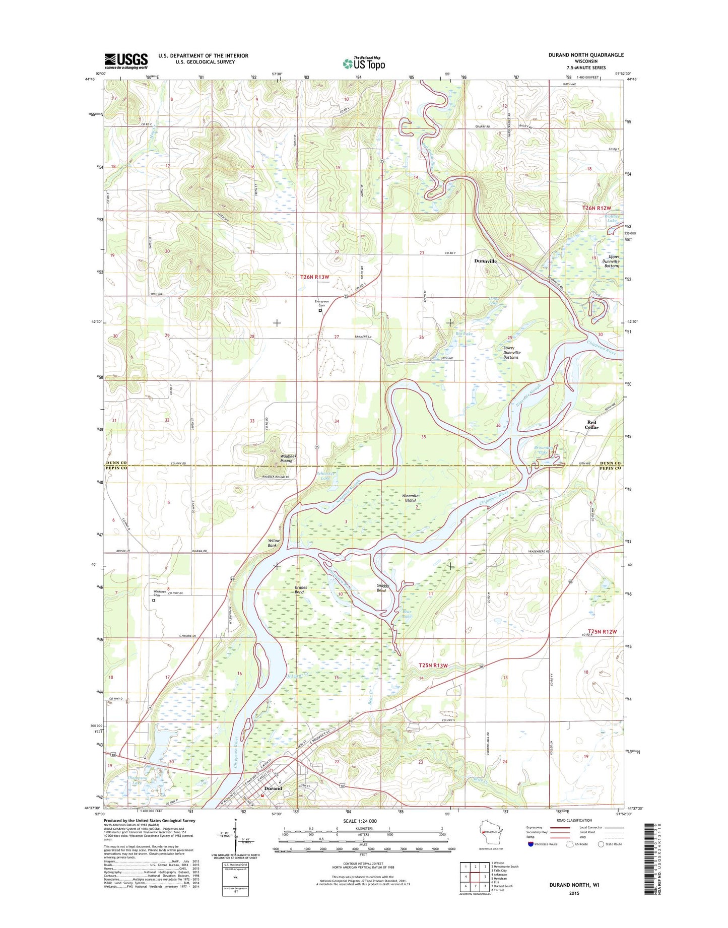
2022 topographic map quadrangle Durand North in the state of Wisconsin. Scale: 1:24000. Based on the newly updated USGS 7.5' US Topo map series, this map is in the following counties: Dunn, Pepin. The map contains contour data, water features, and other items you are used to seeing on USGS maps, but also has updated roads and other features. This is the next generation of topographic maps. Printed on high-quality waterproof paper with UV fade-resistant inks.
Quads adjacent to this one:
West: Arkansaw
Northwest: Weston
North: Menomonie South
Northeast: Falls City
East: Meridean
Southeast: Tarrant
South: Durand South
Southwest: Ella
This map covers the same area as the classic USGS quad with code o44091f8.
Contains the following named places: Bear Creek, Bear Lake, Big Lake, Browning Lake, Buck Knob Airport, Burke School, Caddie Woodlawn Park, City of Durand, Cranes Bend, Dry Brook, Dunnville, Durand, Durand City Volunteer Fire Department, Durand Middle / High School, Durand Municipal Ambulance Service, Durand Post Office, Evergreen Cemetery, Faith Lutheran Church, Hay Creek School, Ingram School, Long Lake, Lower Dunnville Bottoms, Nine Mile Island State Natural Area, Ninemile Island, Ninemile Slough, Oak Grove School, Old Bear Creek, Red Cedar, Red Cedar River, Saint Johns Lutheran Church, Schlosser Field, Schlosser Lake, Snaggy Bend, Thompson Lake, Thompson Lake Christian School, Town of Durand, Town of Waubeek, Wallace Lake, Waubeek Cemetery, Waubeek Mound, Waubeek School, Woods Corner School, WRDN-AM (Durand), Yellow Bank, ZIP Code: 54737


