MyTopo
Menomonie South Wisconsin US Topo Map
Couldn't load pickup availability
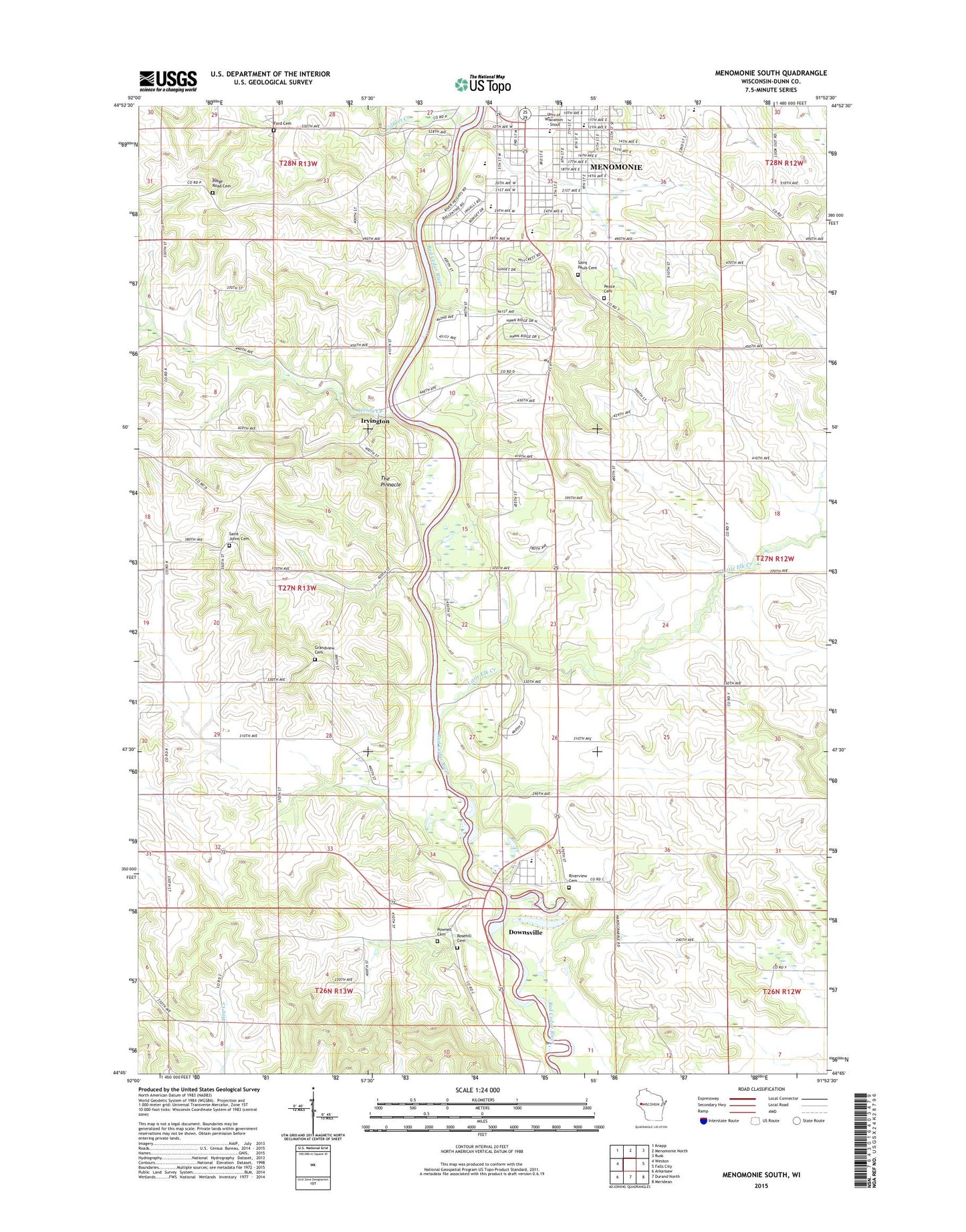
2022 topographic map quadrangle Menomonie South in the state of Wisconsin. Scale: 1:24000. Based on the newly updated USGS 7.5' US Topo map series, this map is in the following counties: Dunn. The map contains contour data, water features, and other items you are used to seeing on USGS maps, but also has updated roads and other features. This is the next generation of topographic maps. Printed on high-quality waterproof paper with UV fade-resistant inks.
Quads adjacent to this one:
West: Weston
Northwest: Knapp
North: Menomonie North
Northeast: Rusk
East: Falls City
Southeast: Meridean
South: Durand North
Southwest: Arkansaw
This map covers the same area as the classic USGS quad with code o44091g8.
Contains the following named places: Beaver Creek School, Blodget School, Burton E Nelson Field, Coddington School, Devils Punch Bowl County Park, Downsville, Downsville Census Designated Place, Downsville Elementary School, Downsville Post Office, Evergreen Valley School, Ford Cemetery, Fowler Park, Gilbert Creek, Grace Episcopal Church, Grandview Cemetery, Hilltop School, Immanuel Baptist Church, Immanuel Baptist Church School, Irving Creek, Irvington, Jarvis Hall, Johnson Fieldhouse, L Mart Shopping Center, Little Elk Creek, Memorial Hospital, Memorial Student Center, Menomonie Church of the Nazarene, Menomonie City Landfill, Menomonie High School, Menomonie Middle School, Menomonie Wastewater Treatment Facility, Merle M Price Commons, North Hall, Oak Ridge Lutheran Church, Our Saviors Lutheran Church, Pawnell Cemetery, Peace Cemetery, Peace Lutheran Church, Ridgeroad Cemetery, River Heights Elementary School, Riverside Park, Riverview Cemetery, Rosehill Cemetery, Saint Johns Cemetery, Saint Josephs Convent, Saint Pauls Cemetery, Saint Pauls Evangelical Lutheran Church, Saint Paul's Lutheran School, Seventh Day Adventist Church, South Hall, Stout Vocational Rehabilitation Institute, The Pinnacle, Town of Dunn, Unitarian Society of Menomonie, WMEQ-FM (Menomonie), WVSS-FM (Menomonie), ZIP Code: 54751


