MyTopo
Shepley Wisconsin US Topo Map
Couldn't load pickup availability
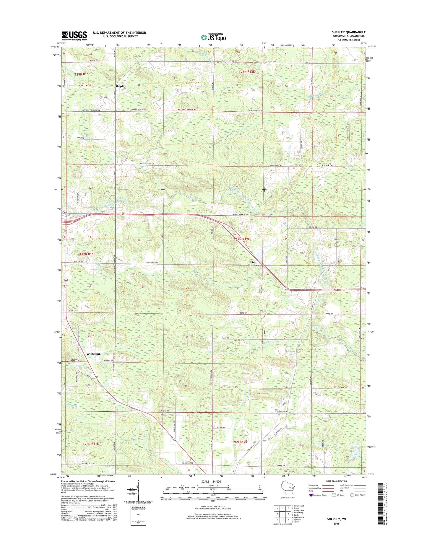
2022 topographic map quadrangle Shepley in the state of Wisconsin. Scale: 1:24000. Based on the newly updated USGS 7.5' US Topo map series, this map is in the following counties: Shawano. The map contains contour data, water features, and other items you are used to seeing on USGS maps, but also has updated roads and other features. This is the next generation of topographic maps. Printed on high-quality waterproof paper with UV fade-resistant inks.
Quads adjacent to this one:
West: Wittenberg
Northwest: Birnamwood
North: Regina
Northeast: Burney Lake
East: Bowler
Southeast: Marion
South: Tigerton
Southwest: Tigerton NW
This map covers the same area as the classic USGS quad with code o44089g1.
Contains the following named places: Dent Creek, Five Corners, Henning School, Immanuel Church, Loken School, Morris Lookout Tower, Norway School, Shepley, Simpson Creek, Town of Morris, Whitcomb, Wilson Creek