MyTopo
Bowler Wisconsin US Topo Map
Couldn't load pickup availability
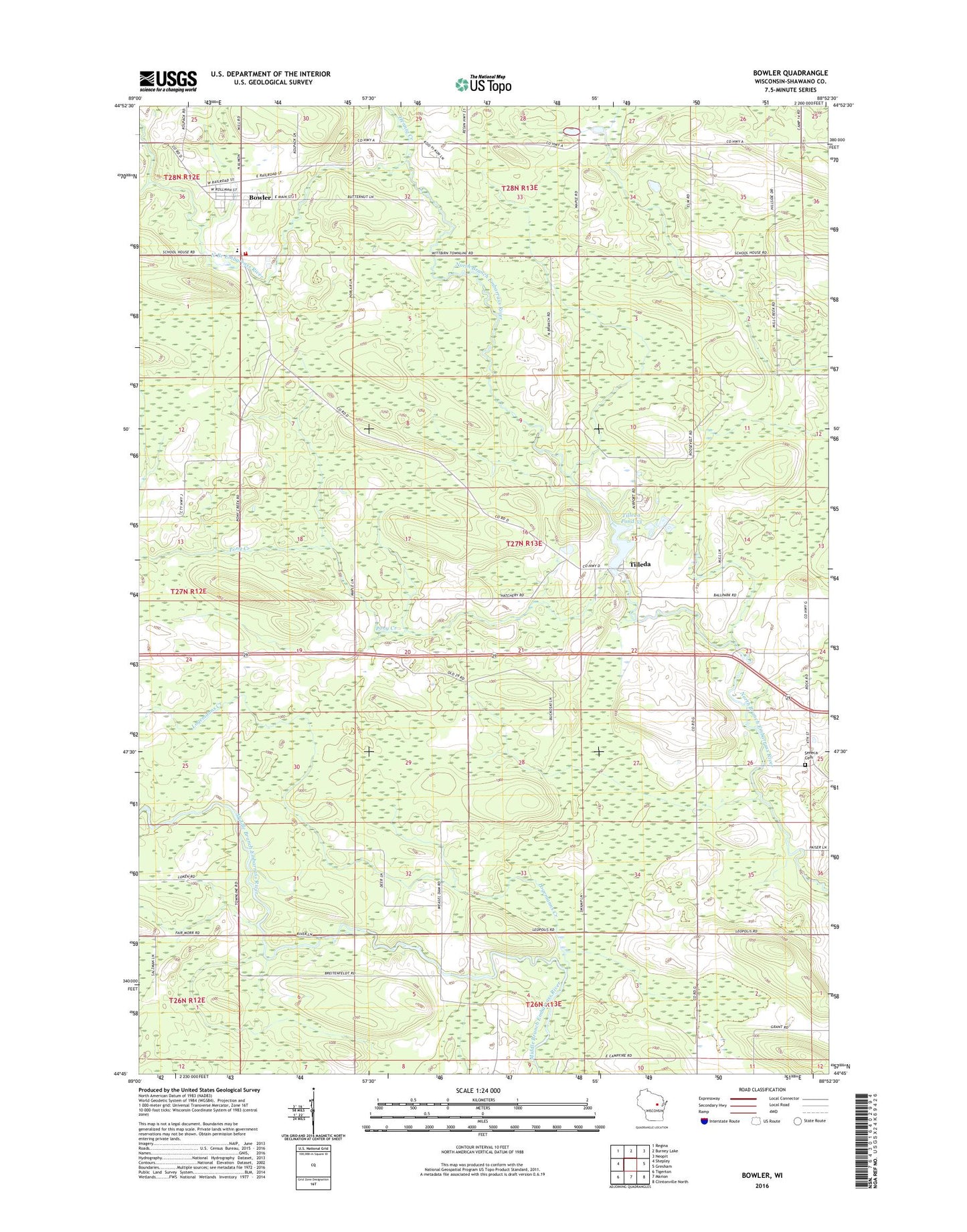
2022 topographic map quadrangle Bowler in the state of Wisconsin. Scale: 1:24000. Based on the newly updated USGS 7.5' US Topo map series, this map is in the following counties: Shawano. The map contains contour data, water features, and other items you are used to seeing on USGS maps, but also has updated roads and other features. This is the next generation of topographic maps. Printed on high-quality waterproof paper with UV fade-resistant inks.
Quads adjacent to this one:
West: Shepley
Northwest: Regina
North: Burney Lake
Northeast: Neopit
East: Gresham
Southeast: Clintonville North
South: Marion
Southwest: Tigerton
This map covers the same area as the classic USGS quad with code o44088g8.
Contains the following named places: Bethany Church, Bowler, Bowler Area Fire District, Bowler Elementary School, Bowler Middle / High School, Bowler Pond, Bowler Post Office, Hennig Creek, Logemanns Creek, Maas Field, Pony Creek, Seneca Cemetery, Strassburg Creek, Tilleda, Tilleda 1885C281 Dam, Tilleda Census Designated Place, Tilleda Pond 53, Tilleda Post Office, Town of Seneca, Village of Bowler, Weasel Dam School