MyTopo
White Sand Lake Wisconsin US Topo Map
Couldn't load pickup availability
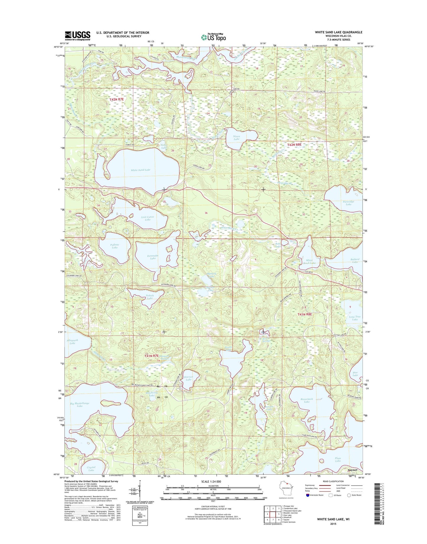
2022 topographic map quadrangle White Sand Lake in the state of Wisconsin. Scale: 1:24000. Based on the newly updated USGS 7.5' US Topo map series, this map is in the following counties: Vilas. The map contains contour data, water features, and other items you are used to seeing on USGS maps, but also has updated roads and other features. This is the next generation of topographic maps. Printed on high-quality waterproof paper with UV fade-resistant inks.
Quads adjacent to this one:
West: Boulder Junction
Northwest: Presque Isle
North: Tenderfoot Lake
Northeast: Thousand Island Lake
East: Star Lake
Southeast: Saint Germain
South: Sayner
Southwest: Woodruff
This map covers the same area as the classic USGS quad with code o46089a5.
Contains the following named places: Allequash Creek, Allequash Springs, Aurora Lake, Aurora Lake State Natural Area, Bear Springs, Big Muskellunge Lake, Blueberry Lake, Bobs Lake, Crystal Lake, Escanaba Lake, Escanaba Lake Hemlocks State Natural Area, Fishtrap Dam, Frank Lake, Highland Camp, Johnson Creek, Lone Tree Lake, Lost Canoe Lake, McGinnis Creek, Mystery Lake, Nebish Lake, Nellie Lake, Nixon Creek, Nixon Lake, Pallette Lake, Partridge Creek, Partridge Lake, Plum Lake, Razorback Lake, Spruce Lake, Starrett Lake, Stevenson Creek Flowage, Vilas County, White Birch Creek, White Birch Lake, White Sand Lake, WWMH-FM (Minocqua), ZIP Codes: 54560, 54561