MyTopo
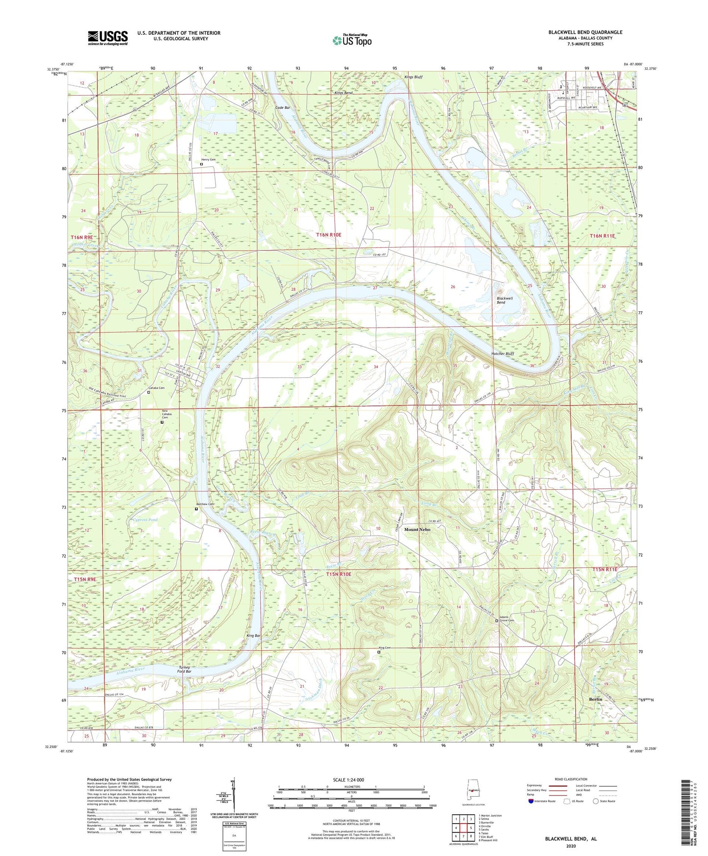
Blackwell Bend Alabama US Topo Map
Couldn't load pickup availability
2024 topographic map quadrangle Blackwell Bend in the state of Alabama. Scale: 1:24000. Based on the newly updated USGS 7.5' US Topo map series, this map is in the following counties: Dallas. The map contains contour data, water features, and other items you are used to seeing on USGS maps, but also has updated roads and other features. This is the next generation of topographic maps. Printed on high-quality waterproof paper with UV fade-resistant inks.
Quads adjacent to this one:
West: Orrville
Northwest: Marion Junction
North: Selma
Northeast: Burnsville
East: Sardis
Southeast: Pleasant Hill
South: Elm Bluff
Southwest: Tasso
This map covers the same area as the classic USGS quad with code o32087c1.
Contains the following named places: Adams Grove Cemetery, Adams Grove Presbyterian Church, Berlin, Bethel Branch, Big Ditch, Blackwell Bend, Blackwell Plantation, Cade Bar, Cahaba, Cahaba Cemetery, Cahaba River, Cahaba River Public Use Area, Clear Creek, Cook Branch, Cypress Pond, Dallas County, Dallas County Area Vocational School, Fourmile Creek, Gum Pond Branch, Hatcher Bluff, Hatchers Landing, Henry Cemetery, Hope Church, Hope School, Irishman Ditch, King Bar, King Cemetery, King Mill Branch, Kings Bend, Kings Bluff, Kings Landing, Kings Landing Public Use Area, Lias Creek, Lilly Grove Church, Little Miami Public Use Area, Little Zion Church, Matthew Cemetery, Mcdowell Lake, McDowell Landing, Mount Nebo, Mount Nebo Church, Mountain Branch, New Bride Church, New Cahaba Cemetery, New Gaines Church, New Hope Church, New Hope School, New Sandy Ridge Church, New Shiloh Church, R L Mcdowell Dam, Reese Branch, Sand Ridge School, Sardis Division, Selmont Community Church, Shiloh Elementary School, Shiloh High School, Six Mile Creek Public Use Area, Sixmile Creek, Skyharbor Airport, Sorrell Branch, State Place Branch, Steep Creek, The First Born Mission, Tipton High School, Turkey Ford Bar, Watts Bar, Whites Branch


