MyTopo
Round Top Mountain Arizona US Topo Map
Couldn't load pickup availability
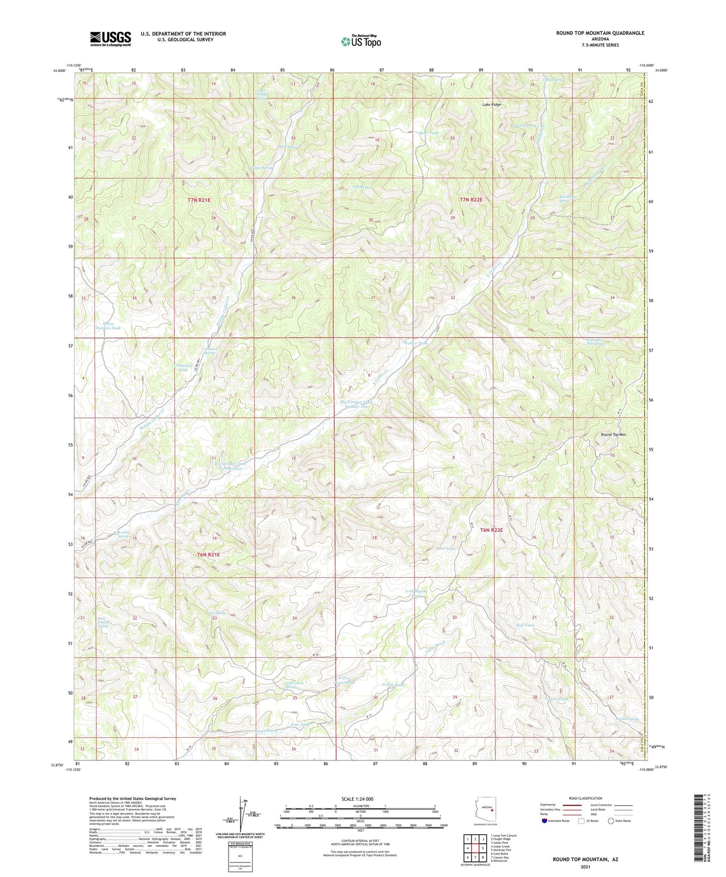
2021 topographic map quadrangle Round Top Mountain in the state of Arizona. Scale: 1:24000. Based on the newly updated USGS 7.5' US Topo map series, this map is in the following counties: Gila, Navajo. The map contains contour data, water features, and other items you are used to seeing on USGS maps, but also has updated roads and other features. This is the next generation of topographic maps. Printed on high-quality waterproof paper with UV fade-resistant inks.
Quads adjacent to this one:
West: Cedar Creek
Northwest: Long Tom Canyon
North: Faught Ridge
Northeast: Indian Pine
East: Alchesay Flat
Southeast: Whiteriver
South: Canyon Day
Southwest: Cone Butte
This map covers the same area as the classic USGS quad with code o33110h1.
Contains the following named places: A-eightyone Tank, Banana Spring, Bear Spring, Bear Tank, Big Canyon Tank Number One, Big Canyon Tank Number Two, Bull Tank, C-Dart Spring, Cowboy Spring, Coyote Tank, Cub Springs, Deer Spring Creek, Deer Tank, Eightyfive Bar Spring, Fir Spring, G-five Farm Spring, G-five Farm Tank, G-five Tank, Horse Pasture Tank, I-nineteen Springs, I-nineteen Tank, Pine Tank, Red Willow Spring, Round Top Mountain, Round Top Mountain Lookout, R-seven Spring, Steer Pasture Spring, Upper Walnut Spring, Walker Tank, Walnut Spring