MyTopo
Cotter Arkansas US Topo Map
Couldn't load pickup availability
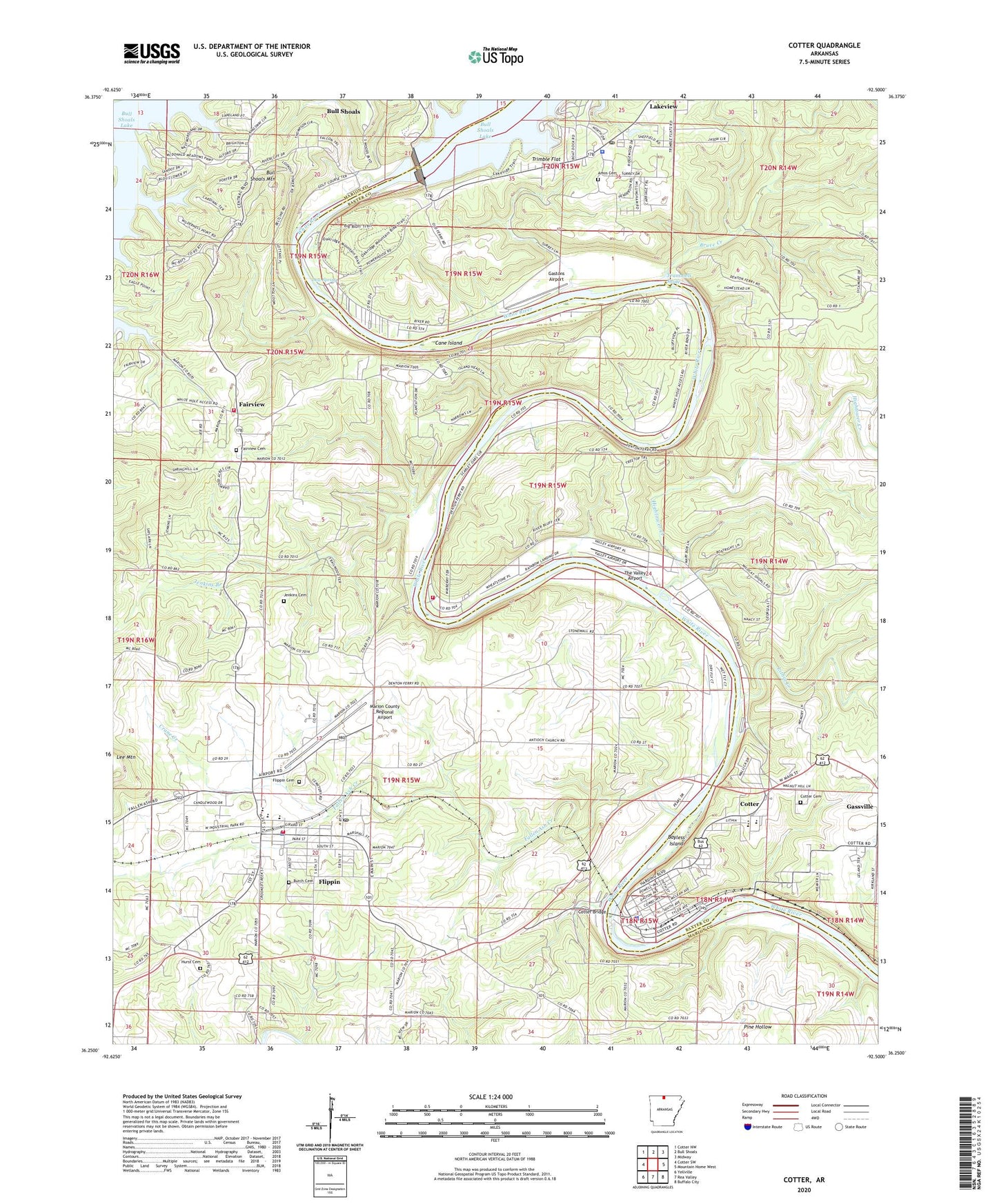
2024 topographic map quadrangle Cotter in the state of Arkansas. Scale: 1:24000. Based on the newly updated USGS 7.5' US Topo map series, this map is in the following counties: Marion, Baxter. The map contains contour data, water features, and other items you are used to seeing on USGS maps, but also has updated roads and other features. This is the next generation of topographic maps. Printed on high-quality waterproof paper with UV fade-resistant inks.
Quads adjacent to this one:
West: Cotter SW
Northwest: Cotter NW
North: Bull Shoals
Northeast: Midway
East: Mountain Home West
Southeast: Buffalo City
South: Rea Valley
Southwest: Yellville
This map covers the same area as the classic USGS quad with code o36092c5.
Contains the following named places: Amanda Gist Elementary School, Amos, Amos Cemetery, Amos School, Antioch Number 1 Baptist Church, Bayless Island, Bruce Creek, Bull Shoals Community Hospital and Clinic, Bull Shoals Dam, Bull Shoals Mountain, Bull Shoals Natural Park, Bull Shoals State Park, Burch Cemetery, Cane Island, City of Bull Shoals, City of Cotter, City of Flippin, City of Lakeview, Collis Ferry, Cotter, Cotter - Gassville Rural Volunteer Fire District Station 2, Cotter Bridge, Cotter Cemetery, Cotter Fire Department, Cotter High School, Cotter Police Department, Cotter Post Office, Crane Creek, Denton Ferry, Dew Spring, Dews Ford, East Cotter Church, Fairview, Fairview Cemetery, Fairview Church of Christ, Fairview School, Fairview Volunteer Fire Department, Fallen Ash Creek, Flippin, Flippin Cemetery, Flippin Elementary School, Flippin Fire Department, Flippin High School, Flippin Middle School, Flippin Police Department, Flippin Post Office, Gastons Airport, Hightower Creek, Hurst Cemetery, Jenkins Branch, Jenkins Cemetery, Lakeview, Lakeview Police Department, Lakeview Post Office, Lithia Creek, Marion County Regional Airport, McBee Landing, McBees Ferry, Mooneys Landing, Mouth of Bruce Creek Landing, Pleasant Flat Church, The Valley Airport, Township of White River, Trammels Shute, Trimble Flat, Whites Ferry, ZIP Codes: 72619, 72626, 72635


