MyTopo
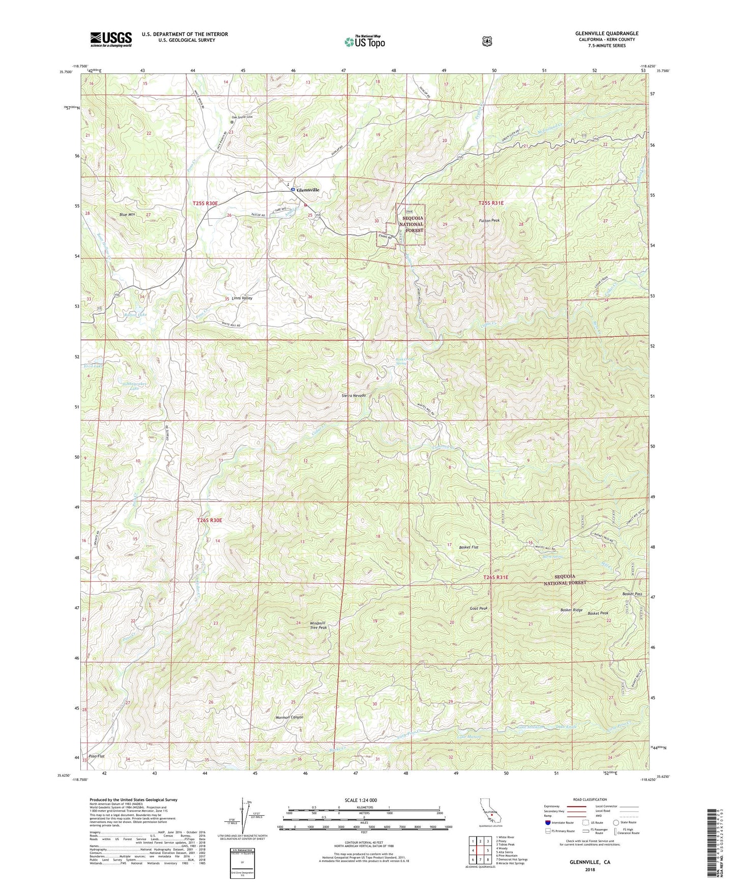
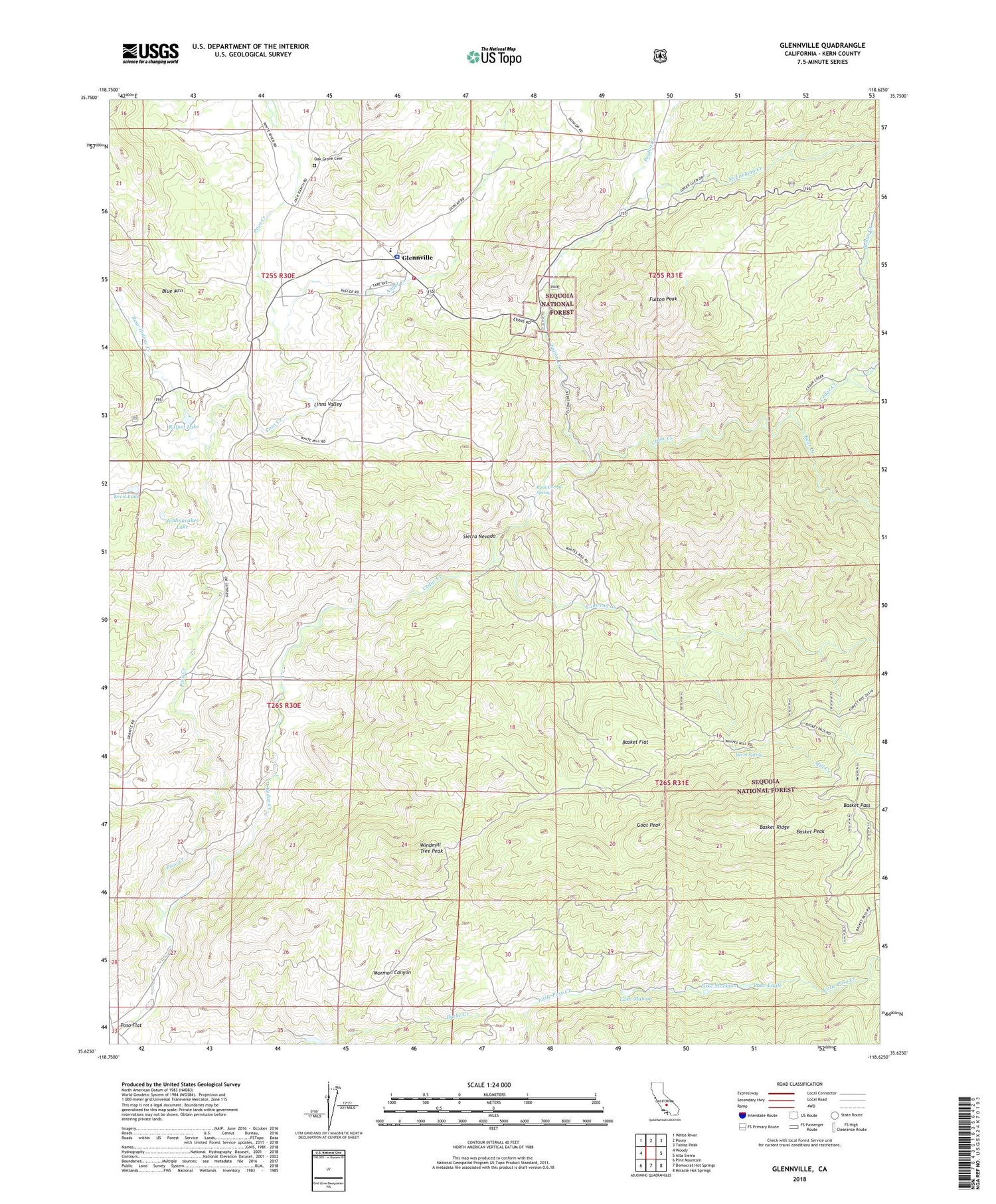
Glennville California US Topo Map
Couldn't load pickup availability
Also explore the Glennville Forest Service Topo of this same quad for updated USFS data
2022 topographic map quadrangle Glennville in the state of California. Scale: 1:24000. Based on the newly updated USGS 7.5' US Topo map series, this map is in the following counties: Kern. The map contains contour data, water features, and other items you are used to seeing on USGS maps, but also has updated roads and other features. This is the next generation of topographic maps. Printed on high-quality waterproof paper with UV fade-resistant inks.
Quads adjacent to this one:
West: Woody
Northwest: White River
North: Posey
Northeast: Tobias Peak
East: Alta Sierra
Southeast: Miracle Hot Springs
South: Democrat Hot Springs
Southwest: Pine Mountain
This map covers the same area as the classic USGS quad with code o35118f6.
Contains the following named places: Angel Creek, Basket Flat, Basket Pass, Basket Peak, Bear Creek, Bear Hollow Creek, Bohna Creek, Burnt Spring, Cedar Creek, Ercil Lake, Fulton Creek, Fulton Peak, Fulton Station, Glennville, Glennville Adobe, Glennville Census Designated Place, Glennville Post Office, Goat Peak, Johhnycakes Lake, Kern County Fire Department Station 36 Glennville, Kern County Sheriff's Office - Glennville Substation, Lackey Place, Lake Engle, Lake Marion, Lake Stockton, Lavers Crossing, Linns Valley, Linns Valley - Poso Flat Elementary School, Lumreau Creek, McFarland Creek, Mill Creek, Oak Grove Cemetery, Peyton Creek, Poso Flat School, Raljon Lake, Raljon Ranch, Rock Corral Spring, White Mill, Windmill Tree Peak, ZIP Code: 93226


