MyTopo
Pine Mountain California US Topo Map
Couldn't load pickup availability
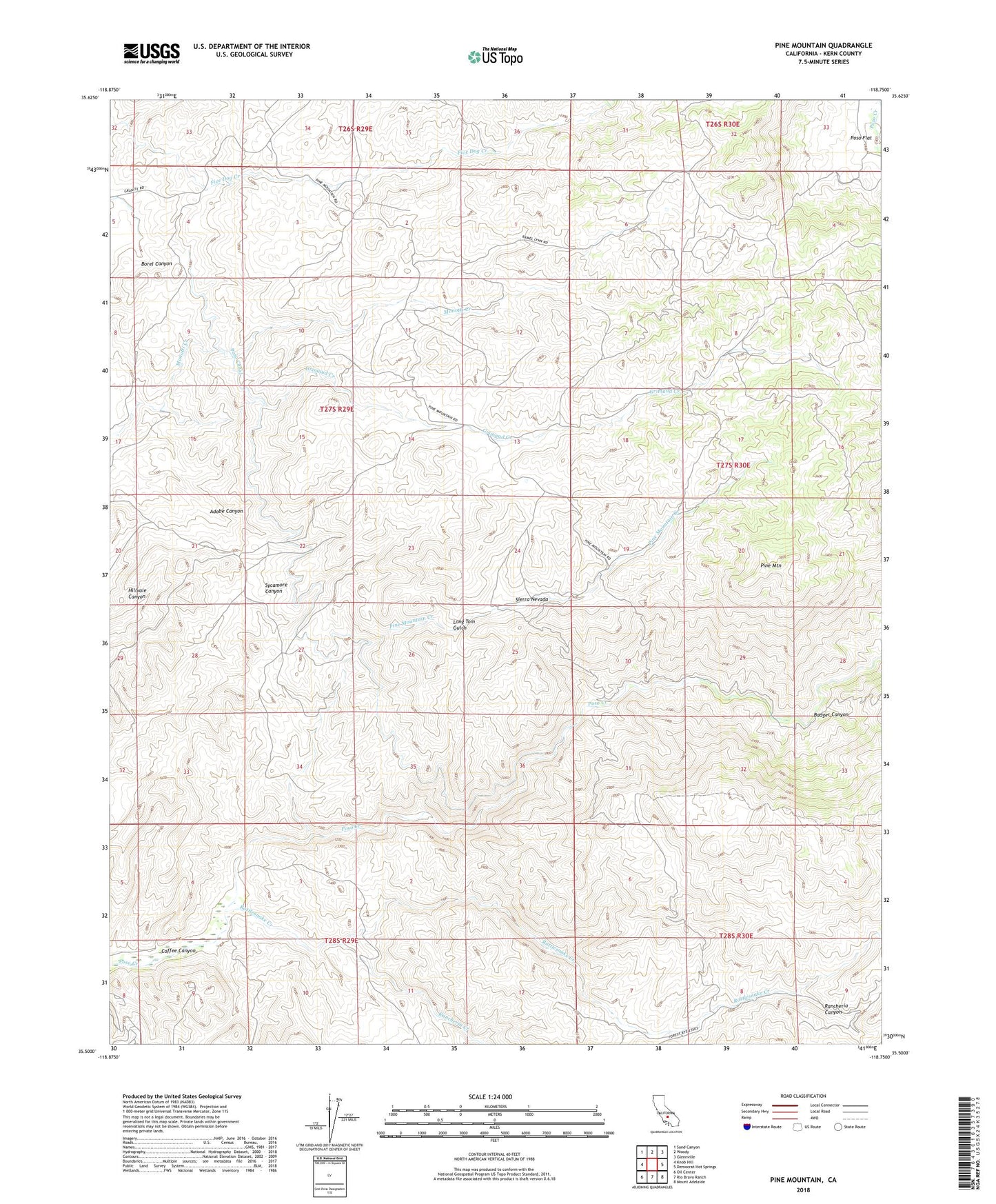
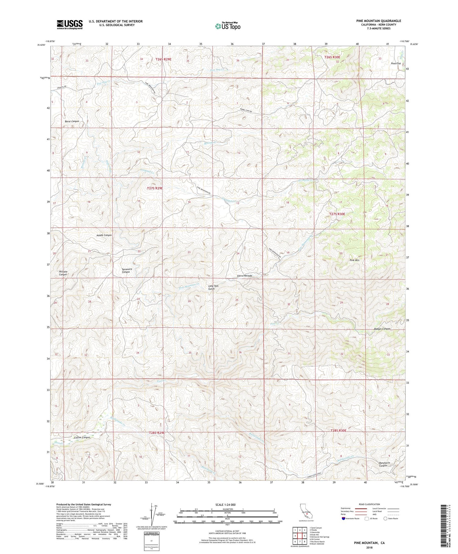
2021 topographic map quadrangle Pine Mountain in the state of California. Scale: 1:24000. Based on the newly updated USGS 7.5' US Topo map series, this map is in the following counties: Kern. The map contains contour data, water features, and other items you are used to seeing on USGS maps, but also has updated roads and other features. This is the next generation of topographic maps. Printed on high-quality waterproof paper with UV fade-resistant inks.
Quads adjacent to this one:
West: Knob Hill
Northwest: Sand Canyon
North: Woody
Northeast: Glennville
East: Democrat Hot Springs
Southeast: Mount Adelaide
South: Rio Bravo Ranch
Southwest: Oil Center
This map covers the same area as the classic USGS quad with code o35118e7.
Contains the following named places: Badger Canyon, Badger Creek, Granite School, Granite Station, Grimaud Creek, Long Tom Gulch, Long Tom Mine, Manny Ranch, Pine Mountain, Pine Mountain Creek, Poso Mine, Rancheria Canyon, Rancheria Creek, Rattlesnake Creek, ZIP Code: 93308