MyTopo
Hume California US Topo Map
Couldn't load pickup availability
Also explore the Hume Forest Service Topo of this same quad for updated USFS data
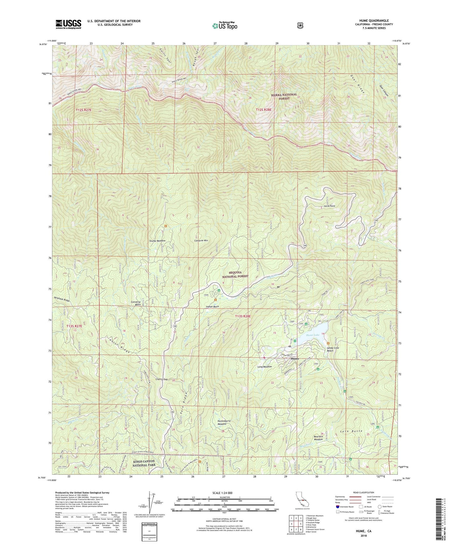
2021 topographic map quadrangle Hume in the state of California. Scale: 1:24000. Based on the newly updated USGS 7.5' US Topo map series, this map is in the following counties: Fresno. The map contains contour data, water features, and other items you are used to seeing on USGS maps, but also has updated roads and other features. This is the next generation of topographic maps. Printed on high-quality waterproof paper with UV fade-resistant inks.
Quads adjacent to this one:
West: Verplank Ridge
Northwest: Patterson Mountain
North: Rough Spur
Northeast: Tehipite Dome
East: Wren Peak
Southeast: Muir Grove
South: General Grant Grove
Southwest: Miramonte
This map covers the same area as the classic USGS quad with code o36118g8.
Contains the following named places: Aspen Hollow Campground, Bartons Resort, Bearskin Creek, Bearskin Meadow, Boole Tree, Cabin Creek, Cabin Creek Grove, Camp Nineteen Station, Cherry Gap, Chicago Stump, Converse Basin, Converse Basin Grove, Converse Mountain, Converse Mountain Grove, Garlic Falls, Garlic Meadow Creek, Hoist Ridge, Huckleberry Meadow, Hume, Hume Forest Service Facility, Hume Lake, Hume Lake Campground, Hume Lake Christian Camp, Hume Lake Volunteer Fire and Rescue Company, Hume Post Office, Hume Station, Indian Basin, Indian Basin Grove, Indian Creek, Junction Vista Point, Landslide Campground, Landslide Creek, Lava Butte, Legger Flat Campground, Logger Flat Campground, Long Meadow, McGee Vista Point, Middle Fork Kings River, Panoramic Point, Powder Can Picnic Area, Powder Canyon Picnic Area, Princess Campground, Rough Creek, Sandy Cove Beach, Sandy Cove Beach Picnic Area, South Fork Kings River, Spring Creek, Stump Meadow, Ten Mile Campground, Tenmile Creek, Tornado Creek, Verplank Ridge, Yucca Point, ZIP Code: 93628


