MyTopo
Verplank Ridge California US Topo Map
Couldn't load pickup availability
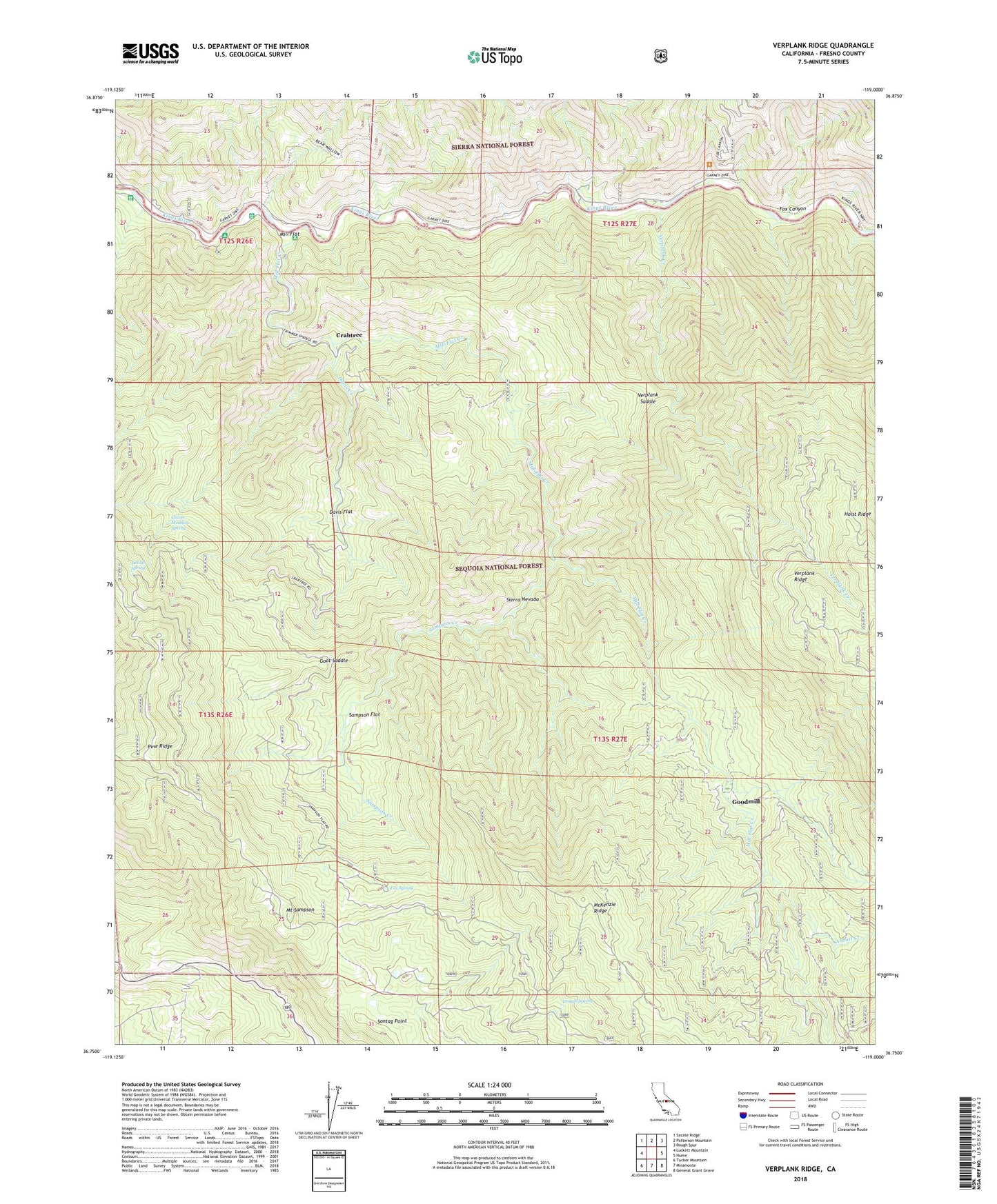
2021 topographic map quadrangle Verplank Ridge in the state of California. Scale: 1:24000. Based on the newly updated USGS 7.5' US Topo map series, this map is in the following counties: Fresno. The map contains contour data, water features, and other items you are used to seeing on USGS maps, but also has updated roads and other features. This is the next generation of topographic maps. Printed on high-quality waterproof paper with UV fade-resistant inks.
Quads adjacent to this one:
West: Luckett Mountain
Northwest: Sacate Ridge
North: Patterson Mountain
Northeast: Rough Spur
East: Hume
Southeast: General Grant Grove
South: Miramonte
Southwest: Tucker Mountain
This map covers the same area as the classic USGS quad with code o36119g1.
Contains the following named places: Abbott Creek, Camp Four, Camp Four and One Half, Camp Four and One Half Station, Camp Four Campground, Camp Four Station, Clover Meadow Spring, Converse Creek, Crabtree, Davis Creek, Davis Flat, Delilah Lookout, Delilah Spring, Fox Canyon, Fox Spring, Goat Saddle, Goodmill, Gravel Flat Cmapground, McKenzie Guard Station, Mill Flat, Mill Flat Campground, Mill Flat Creek, Mount Sampson, Pine Ridge, Rancheria, Rock House Guard Station, Rodgers Crossing, Rogers Crossing, Sampson Creek, Sampson Flat, Sontag Point, Trough Spring, Upper Kings Campground, Verplank Campground, Verplank Creek, Verplank Saddle, Winfrey Campgrounds