MyTopo
Huntington Lake California US Topo Map
Couldn't load pickup availability
Also explore the Huntington Lake Forest Service Topo of this same quad for updated USFS data
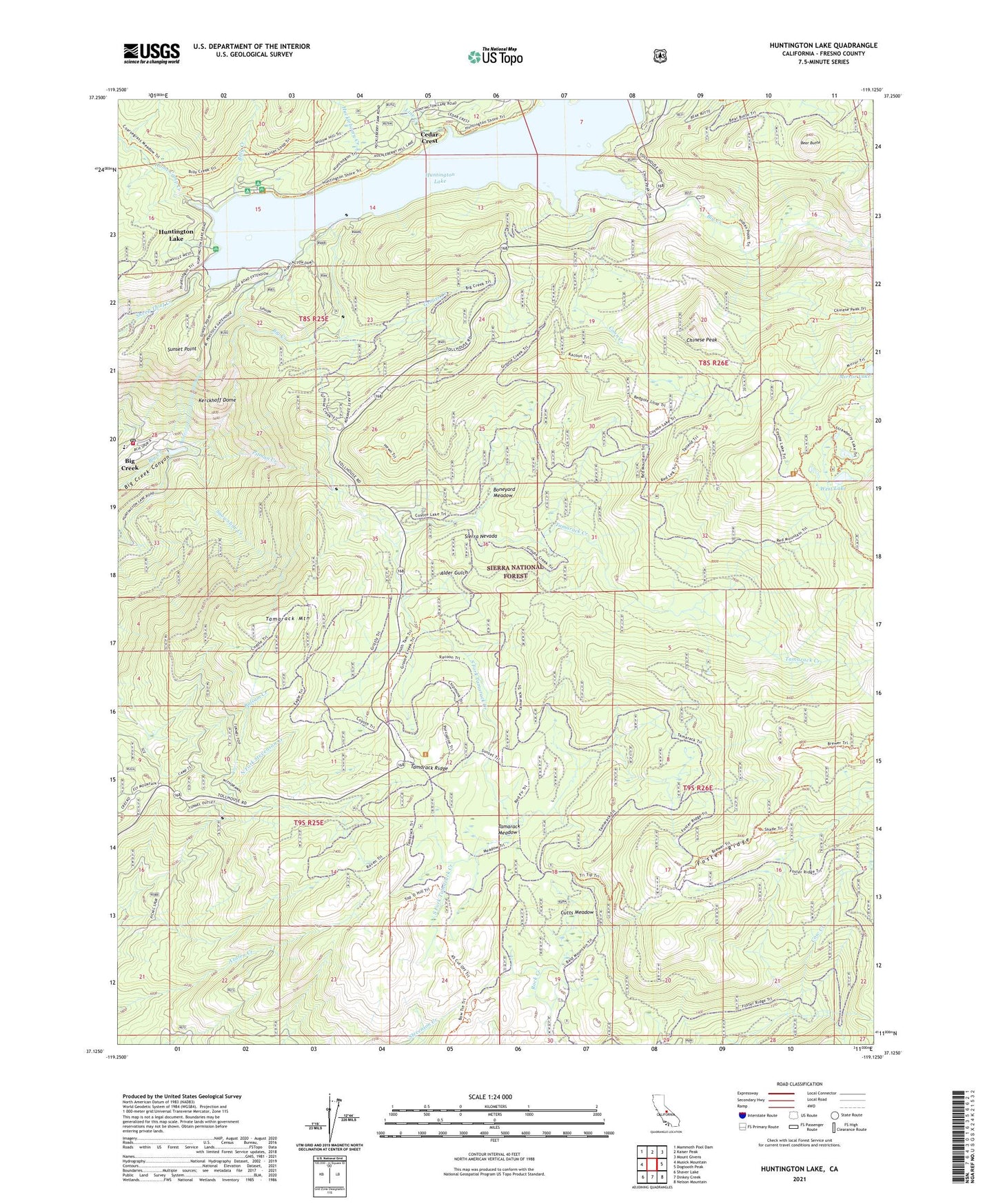
2021 topographic map quadrangle Huntington Lake in the state of California. Scale: 1:24000. Based on the newly updated USGS 7.5' US Topo map series, this map is in the following counties: Fresno. The map contains contour data, water features, and other items you are used to seeing on USGS maps, but also has updated roads and other features. This is the next generation of topographic maps. Printed on high-quality waterproof paper with UV fade-resistant inks.
Quads adjacent to this one:
West: Musick Mountain
Northwest: Mammoth Pool Dam
North: Kaiser Peak
Northeast: Mount Givens
East: Dogtooth Peak
Southeast: Nelson Mountain
South: Dinkey Creek
Southwest: Shaver Lake
This map covers the same area as the classic USGS quad with code o37119b2.
Contains the following named places: Bear Butte, Bear Cove Picnic Area, Big Creek, Big Creek Census Designated Place, Big Creek Elementary School, Big Creek Number 4 104-004 Dam, Big Creek Post Office, Big Creek Volunteer Fire Department, Billy Creek, Billy Creek Campgrounds, Boneyard Meadow, Camp Kern, Camp Mirimichi, Camp Oljato, Cedar Crest, Cedar Crest Post Office, Cedar Crest Resort, Chinese Peak, Chinese Peak Ski Area, Coon Creek, Cutts Meadow, Dowville Picnic Area, Gold Arrow Camp, Grouse Creek, Home Camp Creek, Huckleberry Creek, Huntington Lake, Huntington Lake 1 104-010 Dam, Huntington Lake Game Refuge, Huntington Lake Lumber Company, Huntington Lake Post Office, Huntington Lake Resort, Kerckhoff Dome, Lakeview Cottages Resort, Line Creek, Mono Trail, Pitman Creek, Rancheria Campground, Red Mountain Trail, Shaver Trail, Snowslide Creek, South Fork Tamarack Creek, Sunset Point, Tamarack Creek, Tamarack Meadow, Tamarack Mountain, Tamarack Ridge, Tamarack Winter Sports Area, West Lake, Will-O-The Wisp Resort, ZIP Codes: 93605, 93664


