MyTopo
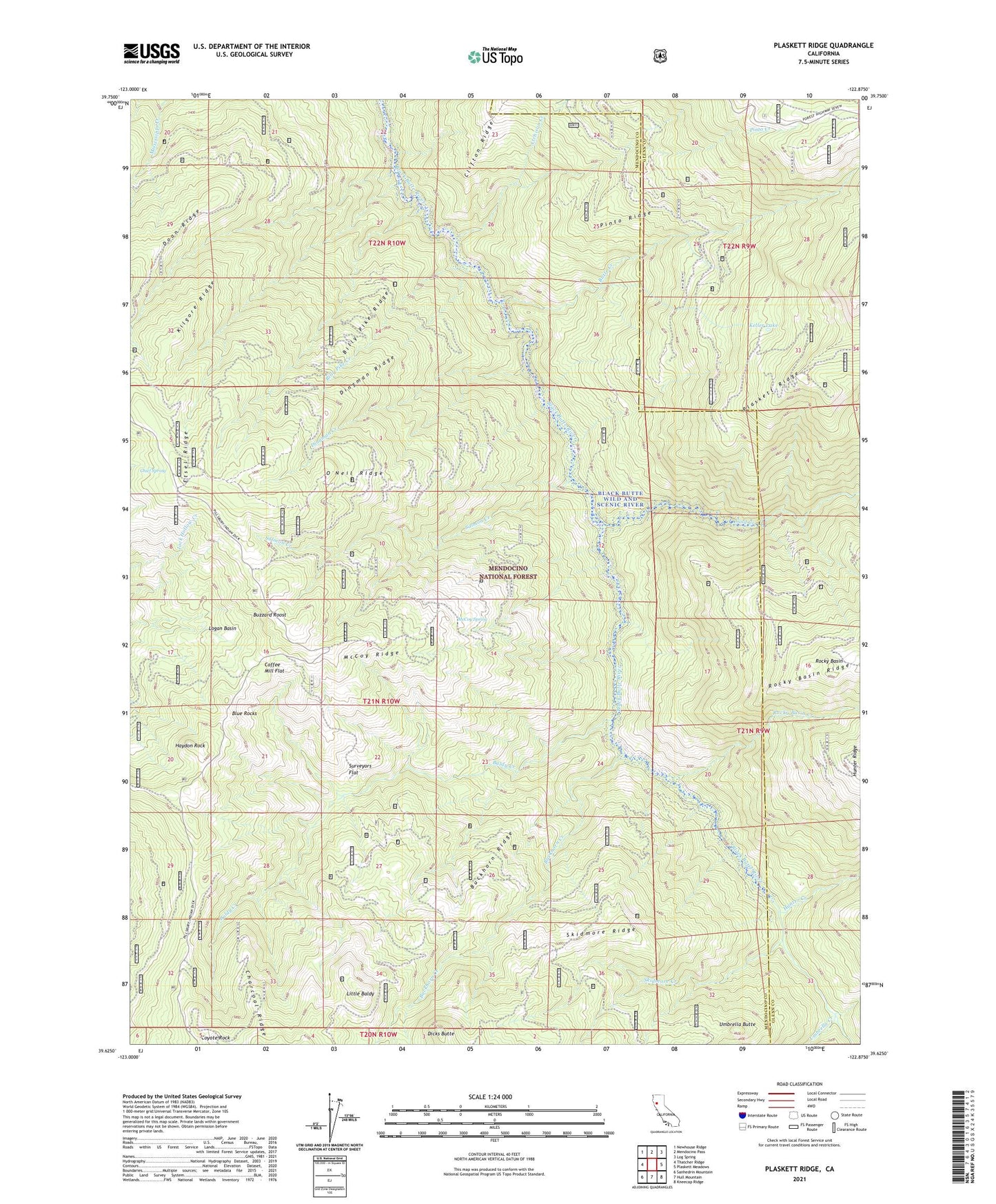
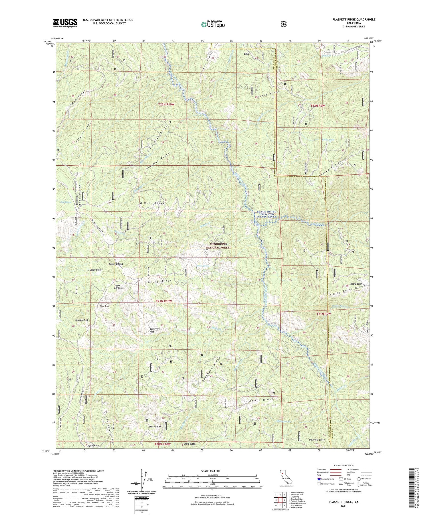
Plaskett Ridge California US Topo Map
Couldn't load pickup availability
Also explore the Plaskett Ridge Forest Service Topo of this same quad for updated USFS data
2021 topographic map quadrangle Plaskett Ridge in the state of California. Scale: 1:24000. Based on the newly updated USGS 7.5' US Topo map series, this map is in the following counties: Mendocino, Glenn. The map contains contour data, water features, and other items you are used to seeing on USGS maps, but also has updated roads and other features. This is the next generation of topographic maps. Printed on high-quality waterproof paper with UV fade-resistant inks.
Quads adjacent to this one:
West: Thatcher Ridge
Northwest: Newhouse Ridge
North: Mendocino Pass
Northeast: Log Spring
East: Plaskett Meadows
Southeast: Kneecap Ridge
South: Hull Mountain
Southwest: Sanhedrin Mountain
This map covers the same area as the classic USGS quad with code o39122f8.
Contains the following named places: Atchison Creek, Baldy Creek, Billy Pike Creek, Billy Pike Ridge, Blue Rocks, Buckhorn Creek, Buckhorn Ridge, Butte Creek, Buzzard Roost, Carpenter Place, Charcoal Ridge, Chief Spring, Coffee Mill Flat, Cold Creek, Coyote Rock, Dicks Butte, Dingman Creek, Dingman Ridge, Etsel Ridge, French Creek, Grizzly Flat Station, Haydon Rock, Hays Place, Hunter Creek, Keller Lake, Keller Place, Kilgore Ridge, Little Baldy, Logan Basin, McCombs Camp, McCoy Ridge, McCoy Spring, O'Neil Place, O'Neil Ridge, Pinto Creek, Pinto Ridge, Plaskett Ridge, Post Camp, Rocky Basin, Rocky Basin Creek, Salmon Creek, Skidmore Creek, Skidmore Ridge, Surveyors Flat, Telephone Campground, Umbrella Butte, Umbrella Creek


