MyTopo
Meeks Bay California US Topo Map
Couldn't load pickup availability
Also explore the Meeks Bay Forest Service Topo of this same quad for updated USFS data
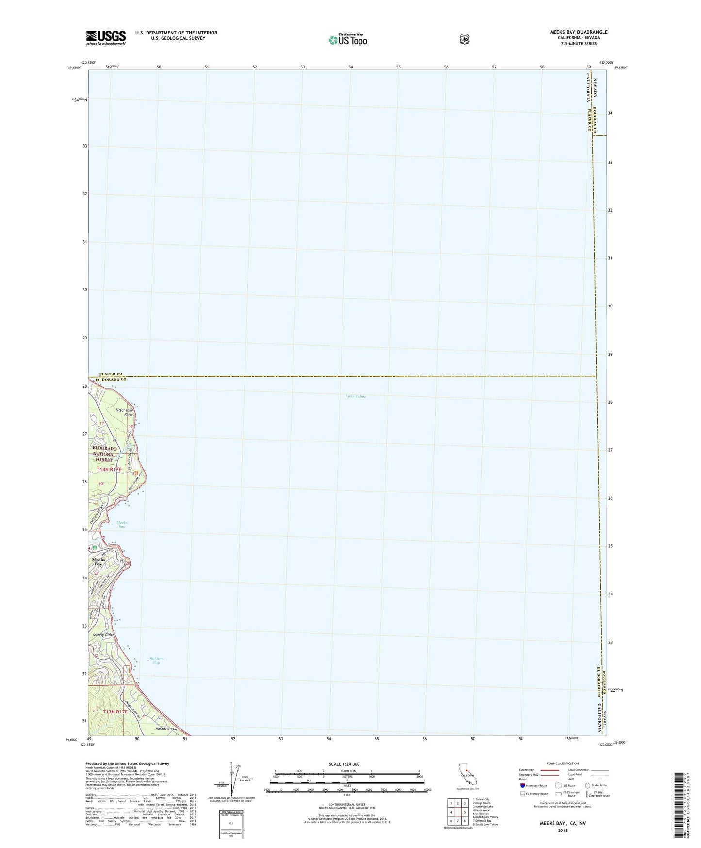
2021 topographic map quadrangle Meeks Bay in the state of California. Scale: 1:24000. Based on the newly updated USGS 7.5' US Topo map series, this map is in the following counties: El Dorado, Placer, Douglas, Carson City (city). The map contains contour data, water features, and other items you are used to seeing on USGS maps, but also has updated roads and other features. This is the next generation of topographic maps. Printed on high-quality waterproof paper with UV fade-resistant inks.
Quads adjacent to this one:
West: Homewood
Northwest: Tahoe City
North: Kings Beach
Northeast: Marlette Lake
East: Glenbrook
Southeast: South Lake Tahoe
South: Emerald Bay
Southwest: Rockbound Valley
Contains the following named places: Childrens House, Ed Z'berg Sugar Pine Point State Park, Edward F Dolder Nature Trail, Edwin L. Z'Berg Natural Preserve, Ehrman Mansion, Frosts, General Creek, General Creek Campground, General Creek Ranger Station, General Creek Recreation Site, General Creek Station, General Phipps Cabin, Glenridge Park, Ice House, Lake Tahoe, Lester Beach, Lonely Gulch, Meeks Bay, Meeks Bay Campground, Meeks Bay Fire Protection District Station 61, Meeks Bay Post Office, Meeks Creek, North Boat House, Paradise Flat, Rod Beaudry Trail, Rubicon Bay, Rubicon Creek, Rubicon Properties, South Boat House, Sugar Pine Point, Sugar Pine Point Lighthouse


