MyTopo
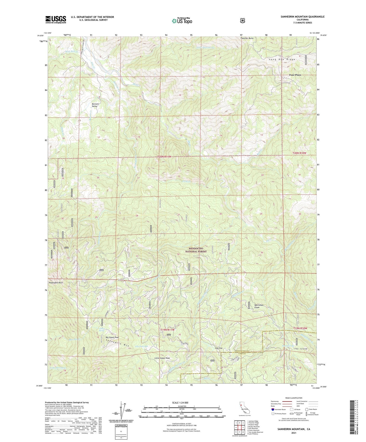
Sanhedrin Mountain California US Topo Map
Couldn't load pickup availability
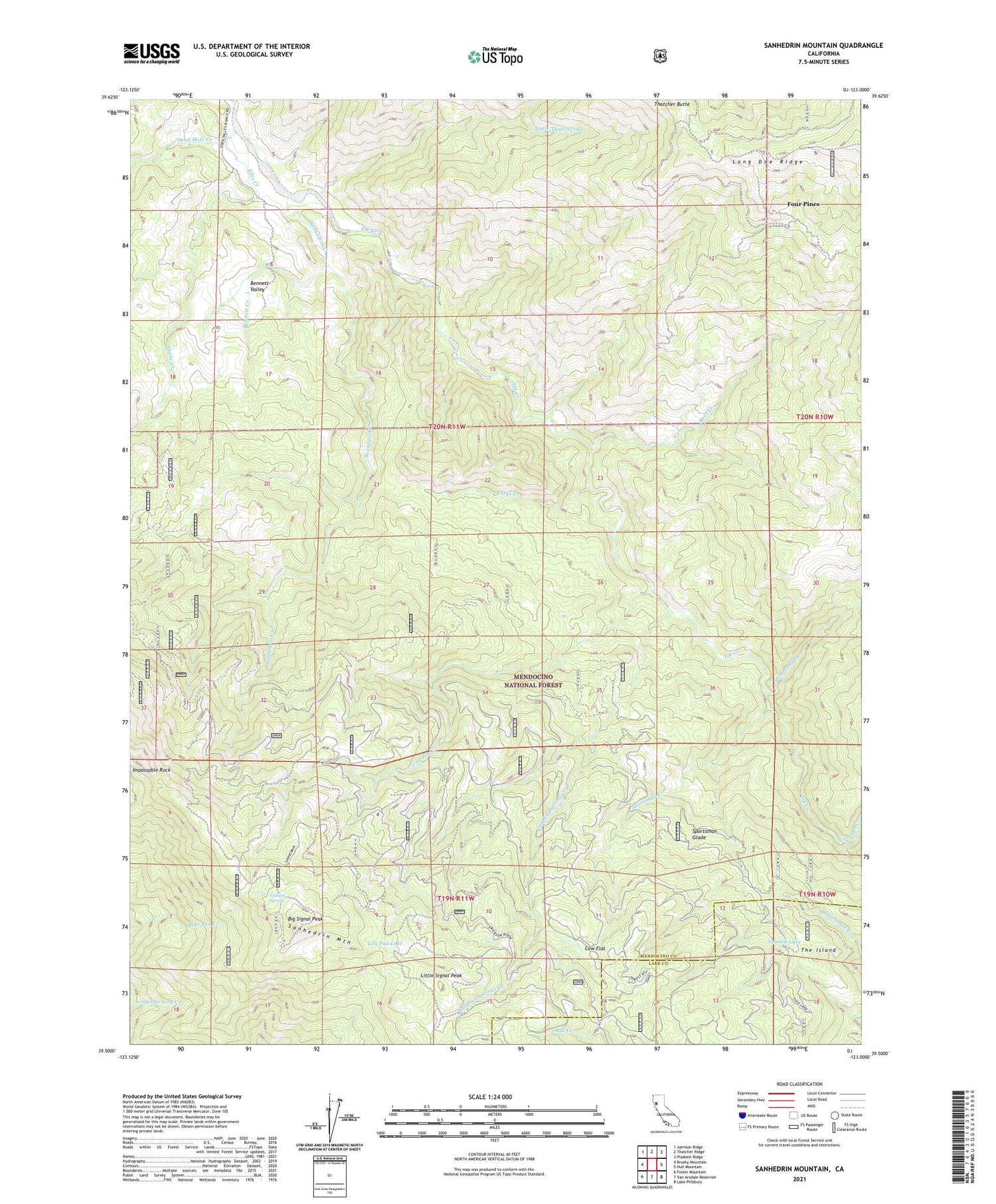
Also explore the Sanhedrin Mountain Forest Service Topo of this same quad for updated USFS data
2021 topographic map quadrangle Sanhedrin Mountain in the state of California. Scale: 1:24000. Based on the newly updated USGS 7.5' US Topo map series, this map is in the following counties: Mendocino, Lake. The map contains contour data, water features, and other items you are used to seeing on USGS maps, but also has updated roads and other features. This is the next generation of topographic maps. Printed on high-quality waterproof paper with UV fade-resistant inks.
Quads adjacent to this one:
West: Brushy Mountain
Northwest: Jamison Ridge
North: Thatcher Ridge
Northeast: Plaskett Ridge
East: Hull Mountain
Southeast: Lake Pillsbury
South: Van Arsdale Reservoir
Southwest: Foster Mountain
Contains the following named places: Bear Creek, Bennett Creek, Bennett Valley, Big Signal Lookout Tower, Big Signal Peak, Cow Flat, Crocker Creek, Crocker Place, Deep Hole Creek, Elk Creek Ranch, Ellis Creek, Forks Camp, Forks Creek, Four Pines, Impassable Rock, Lily Pad Lake, Little Signal Peak, Little Thatcher Creek, Lookout Creek, Mendenhall Creek, Sanhedrin Creek, Sanhedrin Lookout, Sanhedrin Mountain, Sanhedrin Wilderness, Shake Creek, Sportsman Creek, Sportsman Glade, Sulphur Springs Creek, Summit Lake, The Island, Vulture Spring