MyTopo
Durango East Colorado US Topo Map
Couldn't load pickup availability
Also explore the Durango East Forest Service Topo of this same quad for updated USFS data
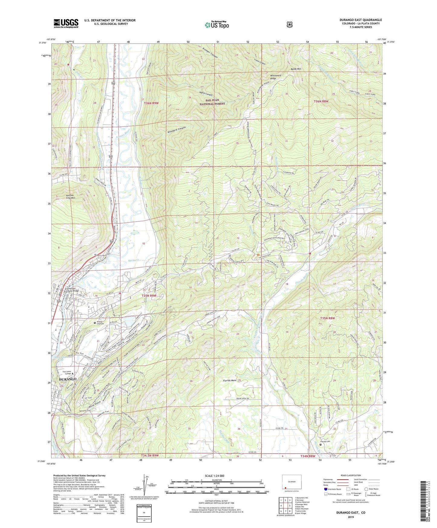
2023 topographic map quadrangle Durango East in the state of Colorado. Scale: 1:24000. Based on the newly updated USGS 7.5' US Topo map series, this map is in the following counties: La Plata. The map contains contour data, water features, and other items you are used to seeing on USGS maps, but also has updated roads and other features. This is the next generation of topographic maps. Printed on high-quality waterproof paper with UV fade-resistant inks.
Quads adjacent to this one:
West: Durango West
Northwest: Monument Hill
North: Hermosa
Northeast: Lemon Reservoir
East: Rules Hill
Southeast: Gem Village
South: Loma Linda
Southwest: Basin Mountain
This map covers the same area as the classic USGS quad with code o37107c7.
Contains the following named places: Animas City Cemetery, Animas City Mountain, Animas Museum, Animas Ranger Station, Baldy Mountain, Bible Missionary Church, Camp Hall, Chapman Hill Municipal Ski Area, Christ the King Lutheran Church, City Mine, Cornerstone Evangelical Free Church, Crofton Hall, Dan Noble Hall, Durango Fire and Rescue Authority Station 13 - Falls Creek Station, Durango Fire and Rescue Authority Station 5 - Edgemont Station, Durango Fire Protection District - Station 3, Durango High School, Durango Regulatory Dam, Durango Regulatory Reservoir, Durango Urgent Care, Emerson-Parks Bridge, Falls Creek, Fanto Park, Fifty-five Plus Center, Fireglow Mine, First United Methodist Church, Florida Canal, Florida Cemetery, Florida Church, Florida Mesa, Folsom Park, Fort Lewis College, Fort Lewis College Field House, Fort Lewis College Natorium, Foursquare Gospel Church, Haflin Canyon, Hesperus Hall, Horse Gulch, Huck Finn Pond, Janson Memorial Playground, John F Reed Library, Junction Creek, KDGO-AM (Durango), KDUR-FM (Durango), La Plata County, La Plata County Fairgrounds, Mears Hall, Memorial Park Phase II, Memorial Park Phase One, Mercy Medical Arts Building, Mercy Medical Center Heliport, Mercy Medical Center of Durango North Campus, Miller Student Center, Missionary Ridge Heliport, Mud Spring Creek, Municipal Swimming Pool, New Life Academy Christian School, New Life Chapel, Park School, Parkview Elementary School, Reorganized Church of Jesus Christ of Latter Day Saints, Riverside Medical Building, Riverview Elementary School, Schroeder Tunnel Mine, Snyder Hall, Spring Creek, The Church of Jesus Christ of Latter Day Saints, Turner Dam, Turner Reservoir, Val Air Airport, Woodard Canyon


