MyTopo
Lake Mary Florida US Topo Map
Couldn't load pickup availability
Also explore the Lake Mary Forest Service Topo of this same quad for updated USFS data
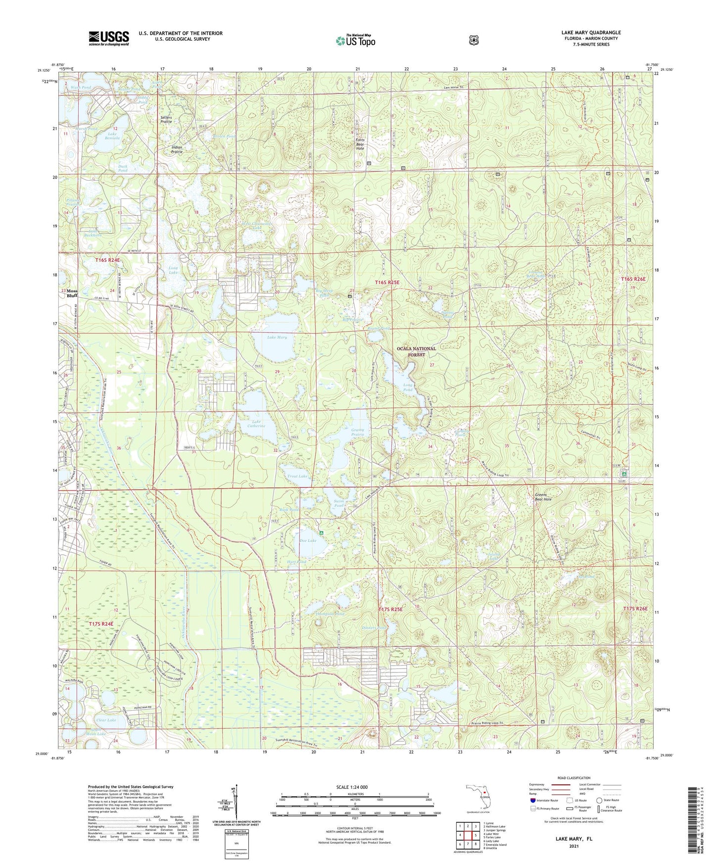
2024 topographic map quadrangle Lake Mary in the state of Florida. Scale: 1:24000. Based on the newly updated USGS 7.5' US Topo map series, this map is in the following counties: Marion. The map contains contour data, water features, and other items you are used to seeing on USGS maps, but also has updated roads and other features. This is the next generation of topographic maps. Printed on high-quality waterproof paper with UV fade-resistant inks.
Quads adjacent to this one:
West: Lake Weir
Northwest: Lynne
North: Halfmoon Lake
Northeast: Juniper Springs
East: Farles Lake
Southeast: Umatilla
South: Emeralda Island
Southwest: Lady Lake
This map covers the same area as the classic USGS quad with code o29081a7.
Contains the following named places: Aiden Pond, Big Prairie, Big Scrub, Big Scrub Camp, Big Steep Pond, Brown Pond, Buck Pond, Camp Oklawaha, Clear Lake, Dinners Pond, Doe Lake, Doe Lake Boat Ramp, Doe Lake Camp, Doe Lake Campground, Duck Pond, Fish Trap Pond, Forest Lakes Park, Forts Bear Hole, Gardners Prairie, Gator Pond, Grassy Prairie, Greens Bear Hole, Hart Pond, Indian Prairie, Island Lake, Lake Bessiola, Lake Buckhorn, Lake Catherine, Lake Catherine Campground, Lake Mary, Liddy Pond, Long Lake, Long Pond, Marsh Pond, Moss Bluff Church, Nancy Prairie, Pillans Prairie, Prairie Trail, Round Pond, Sellers Prairie, Set Pond, Solid Rock Bible Church, South Moon Lake, Squaw Pond, Starks Prairie, Swim Pond, Thompson Pond, Trout Lake, Volusia Bear Hole, Wash Pond, West Clearwater Lake


