MyTopo
Niceville SE Florida US Topo Map
Couldn't load pickup availability
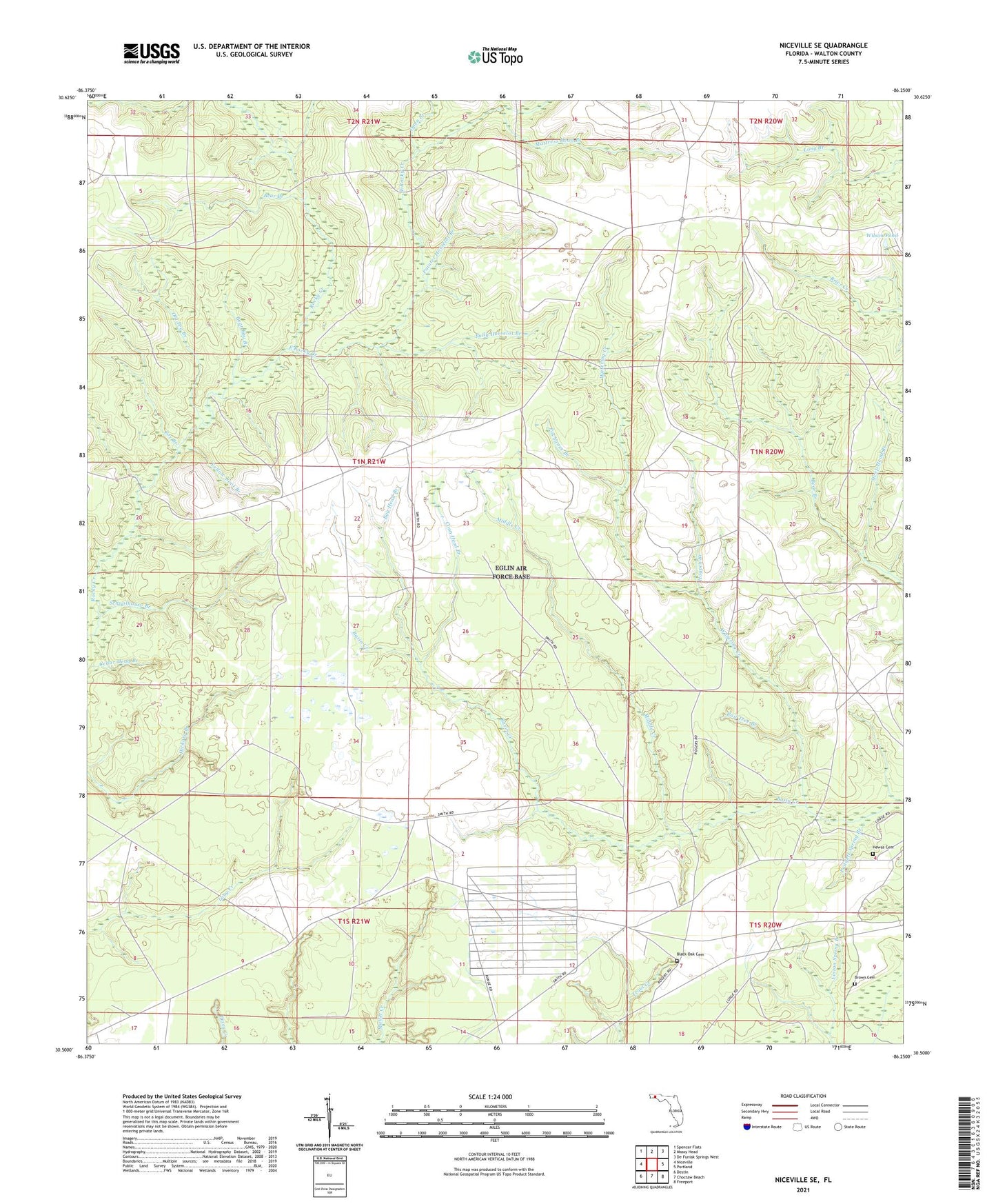
2024 topographic map quadrangle Niceville SE in the state of Florida. Scale: 1:24000. Based on the newly updated USGS 7.5' US Topo map series, this map is in the following counties: Walton. The map contains contour data, water features, and other items you are used to seeing on USGS maps, but also has updated roads and other features. This is the next generation of topographic maps. Printed on high-quality waterproof paper with UV fade-resistant inks.
Quads adjacent to this one:
West: Niceville
Northwest: Spencer Flats
North: Mossy Head
Northeast: De Funiak Springs West
East: Portland
Southeast: Freeport
South: Choctaw Beach
Southwest: Destin
This map covers the same area as the classic USGS quad with code o30086e3.
Contains the following named places: Bay Head Branch, Bear Bay Branch, Bear Branch, Black Oak Cemetery, Brown Cemetery, Bully Horselot Branch, Coon Head Branch, East Rocky Creek, Fox Branch, Hewas Cemetery, Hogpen Branch, Mattress Head Branch, Middle Creek, Old Peg Branch, Open Branch, Padgett Spring Branch, Painter Horselot Branch, Pochanee Branch, Rail Tree Branch, Schoolhouse Branch, Steep Head Branch, Watering Creek, Wilson Pond, Yellow Root Branch