MyTopo
Collins Georgia US Topo Map
Couldn't load pickup availability
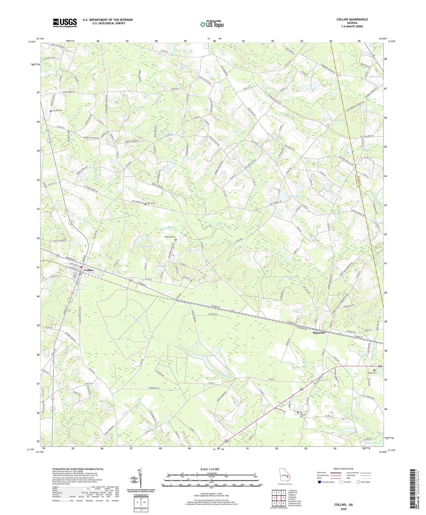
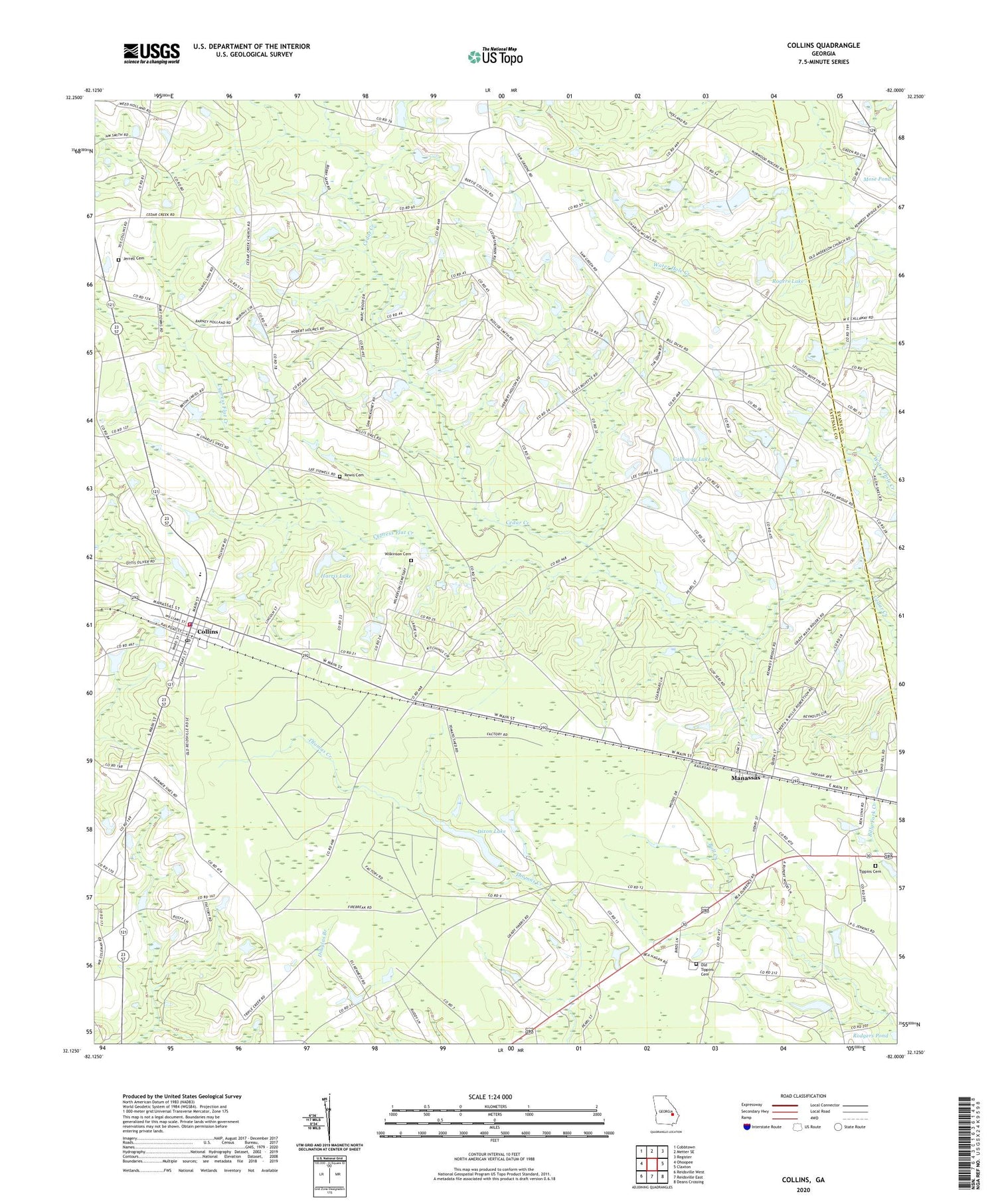
2024 topographic map quadrangle Collins in the state of Georgia. Scale: 1:24000. Based on the newly updated USGS 7.5' US Topo map series, this map is in the following counties: Tattnall, Evans. The map contains contour data, water features, and other items you are used to seeing on USGS maps, but also has updated roads and other features. This is the next generation of topographic maps. Printed on high-quality waterproof paper with UV fade-resistant inks.
Quads adjacent to this one:
West: Ohoopee
Northwest: Cobbtown
North: Metter SE
Northeast: Register
East: Claxton
Southeast: Deans Crossing
South: Reidsville East
Southwest: Reidsville West
This map covers the same area as the classic USGS quad with code o32082b1.
Contains the following named places: Anderson Primitive Baptist Church, Bethaven Church, Calloway Lake, Cedar Creek Primitive Baptist Church, Cedar Creek School, City of Collins, City of Manassas, Collins, Collins Division, Collins Junior High School, Collins Police Department, Collins Post Office, Collins Volunteer Fire Department, Collins Water Pollution Control Plant, Cypress Flat Creek, Dixon Lake, Dixon Lake Dam, Harris Lake, Harris Lake Dam, Jerrell Cemetery, Kingdom Hall, Lighthouse Pentecostal Holiness Church, Manassas, Mount Carmel Church, Mount Pilgrim Church, Old Anderson Church, Old Tippins Cemetery, Rewis Cemetery, Rodgers Church, Rogers Lake, Rogers Lake Dam, Rome Church, Tattnall Campground, Tippins Cemetery, Wilkinson Cemetery, ZIP Codes: 30421, 30438