MyTopo
Claxton Georgia US Topo Map
Couldn't load pickup availability
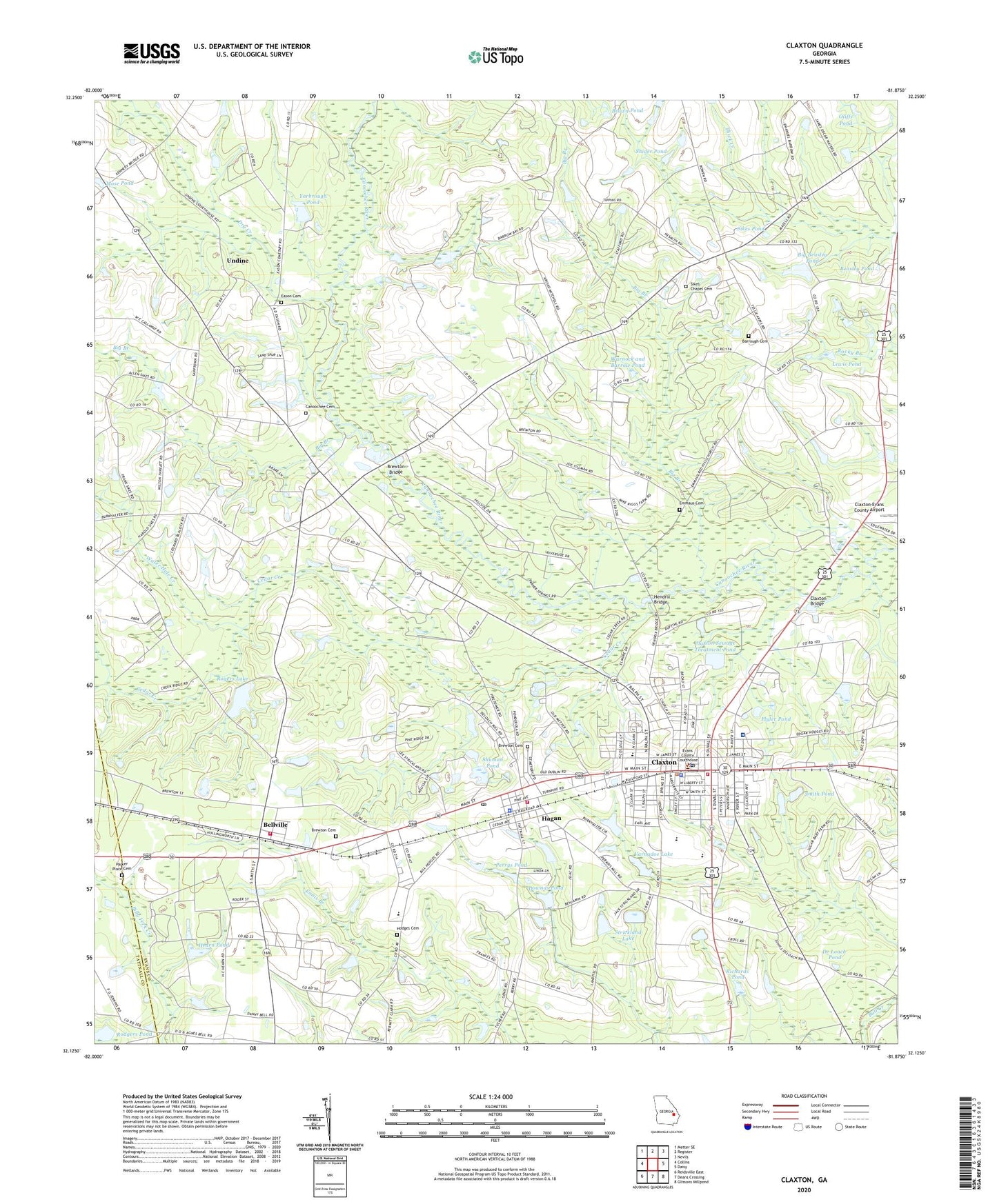
2024 topographic map quadrangle Claxton in the state of Georgia. Scale: 1:24000. Based on the newly updated USGS 7.5' US Topo map series, this map is in the following counties: Evans, Tattnall. The map contains contour data, water features, and other items you are used to seeing on USGS maps, but also has updated roads and other features. This is the next generation of topographic maps. Printed on high-quality waterproof paper with UV fade-resistant inks.
Quads adjacent to this one:
West: Collins
Northwest: Metter SE
North: Register
Northeast: Nevils
East: Daisy
Southeast: Glissons Millpond
South: Deans Crossing
Southwest: Reidsville East
This map covers the same area as the classic USGS quad with code o32081b8.
Contains the following named places: Barrough Cemetery, Beasley Pond, Beasley School, Bellville, Bellville Methodist Church, Bellville School, Bellville Volunteer Fire Department, Big Beasley Pond, Big Beasley Pond Dam, Big Branch, Bishop Graces Baptist Church, Brewton Bridge, Brewton Cemetery, Brewton Church, Brewton School, Brown Pond, Canoochee Cemetery, Canoochee Primitive Baptist Church, Cedar Creek, Church of Christ, City of Bellville, City of Claxton, City of Hagan, Claxton, Claxton Bridge, Claxton City Hall, Claxton City Jail, Claxton Elementary School, Claxton Fire Department, Claxton First Methodist Church, Claxton High School, Claxton Police Department, Claxton Post Office, Claxton Primitive Baptist Church, Claxton Sewage Treatment Pond, Claxton Sewage Treatment Pond Dam, Claxton Square Shopping Center, Cypress Pond, De Loach Pond, Downds Pond, Dry Creek, Eason Cemetery, Eason School, Eastside Baptist Church, Emmaus Cemetery, Ennis Branch School, Evans County, Evans County Courthouse, Evans County Forestry Unit, Evans County High School, Evans County Sheriff Department, Evans Memorial Hospital, First African Baptist Church, First Baptist Church, First United Methodist Church, Green Plantation, Hagan, Hagan Fire Department, Hagan First Methodist Church, Hagan Missionary Baptist Church, Hagan Police Department, Hagan Post Office, Hagan School, Hagan Volunteer Fire Department, Hearn Airport, Hearn Pond, Hendrix Bridge, Hodges Cemetery, Hodges Shopping Center, Lewis Pond, Lovetts Mobile Home Park, Mose Pond, North Evans Division, Oliffs Pond, Parker Place Cemetery, Perkins Mill, Perrys Pond, Plyler Pond, Power Pak Outreach Ministry Church, Red Hill Church, Richards Pond, Rodgers Pond, Rodgers Pond Dam, Rogers Lake, Rogers Lake Dam, Saint Christopher Catholic Church, Saint Johns Baptist Church, Shider Pond, Shuman Pond, Sikes Chapel, Sikes Chapel Cemetery, Sikes Pond, Sikes School, Smith Pond, Southeast District Probation Detention Center, Strickland Dam, Strickland Lake, Thomas Grove African Methodist Episcopal Church, Undine, Undine School, United House of Prayer, Varnadoe Dam, Varnadoe Lake, Warnock and Barrow Pond, Water Hole Creek, WCLA-AM (Claxton), WCLA-FM (Claxton), Womens Probation Detention Center, Yarbrough Pond, Yarbrough Pond Dam, Zion Hill Church, ZIP Codes: 30417, 30429


