MyTopo
Coolidge Georgia US Topo Map
Couldn't load pickup availability
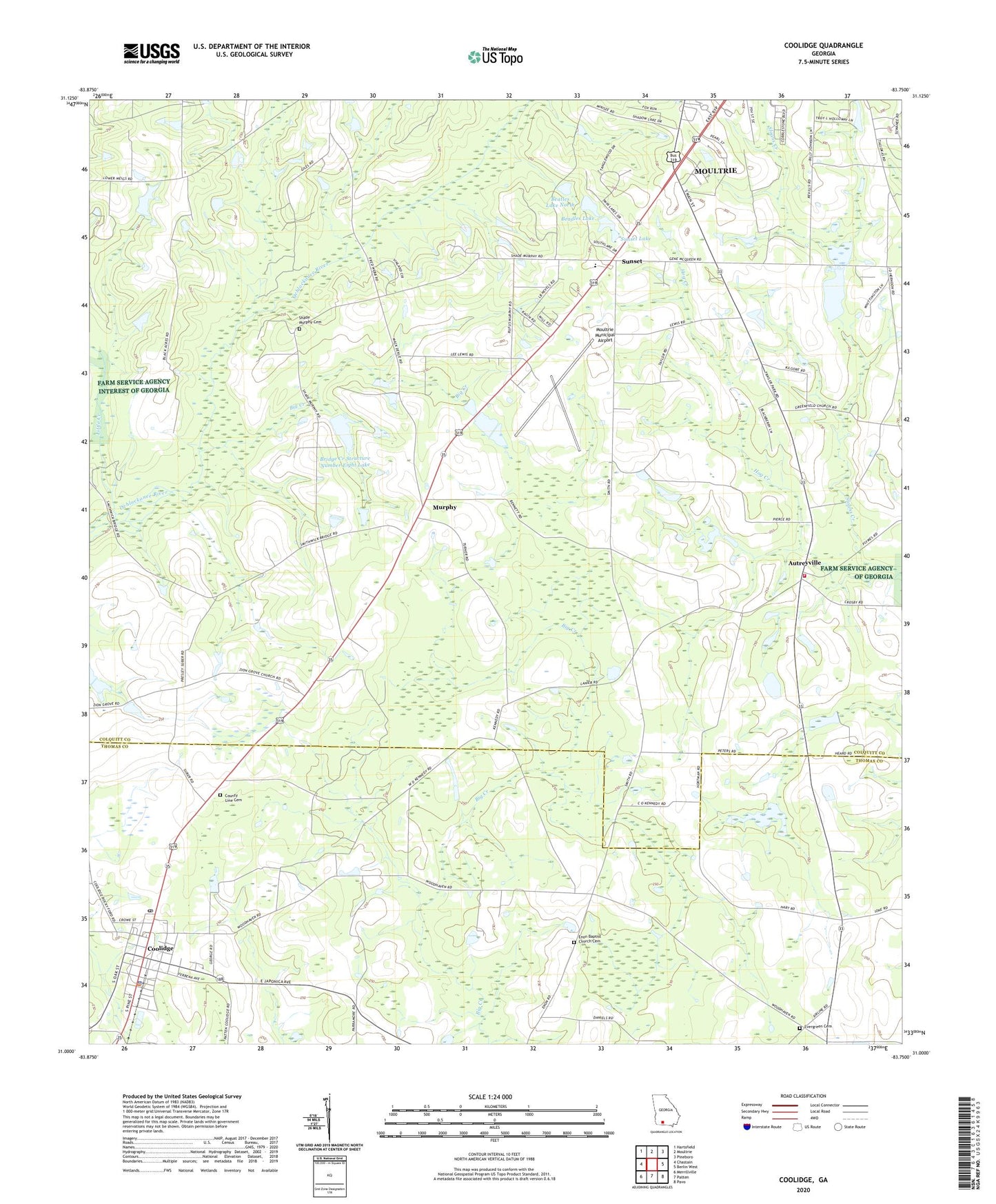
2024 topographic map quadrangle Coolidge in the state of Georgia. Scale: 1:24000. Based on the newly updated USGS 7.5' US Topo map series, this map is in the following counties: Colquitt, Thomas. The map contains contour data, water features, and other items you are used to seeing on USGS maps, but also has updated roads and other features. This is the next generation of topographic maps. Printed on high-quality waterproof paper with UV fade-resistant inks.
Quads adjacent to this one:
West: Chastain
Northwest: Hartsfield
North: Moultrie
Northeast: Pineboro
East: Berlin West
Southeast: Pavo
South: Patten
Southwest: Merrillville
This map covers the same area as the classic USGS quad with code o31083a7.
Contains the following named places: Autreyville, Autreyville Church, Autreyville School, Beadles Lake, Beatles Lake Dam, Beatles Lake North Dam, Big Creek, Bridge Creek Structure Number Eight Dam, Bridge Creek Structure Number Eight Lake, City of Coolidge, Colquitt County Volunteer Firefighters Association Fire Station 42 Autreyville, Coolidge, Coolidge Police Department, Coolidge Post Office, County Line Cemetery, Enon, Enon Baptist Church Cemetery, Enon Church, Evergreen Cemetery, Evergreen Church, Greenfield Cemetery, Greenfield Church, Junior Academy, Little Creek, Moultrie Army Air Field, Moultrie Municipal Airport, Murphy, Murphy Cemetery, New Hope Church, Shade Murphy Cemetery, Sloans Creek, Sunset, Sunset Lake, Sunset School, Temple Church, Union Grove Church, ZIP Code: 31738