MyTopo
East of Ludowici Georgia US Topo Map
Couldn't load pickup availability
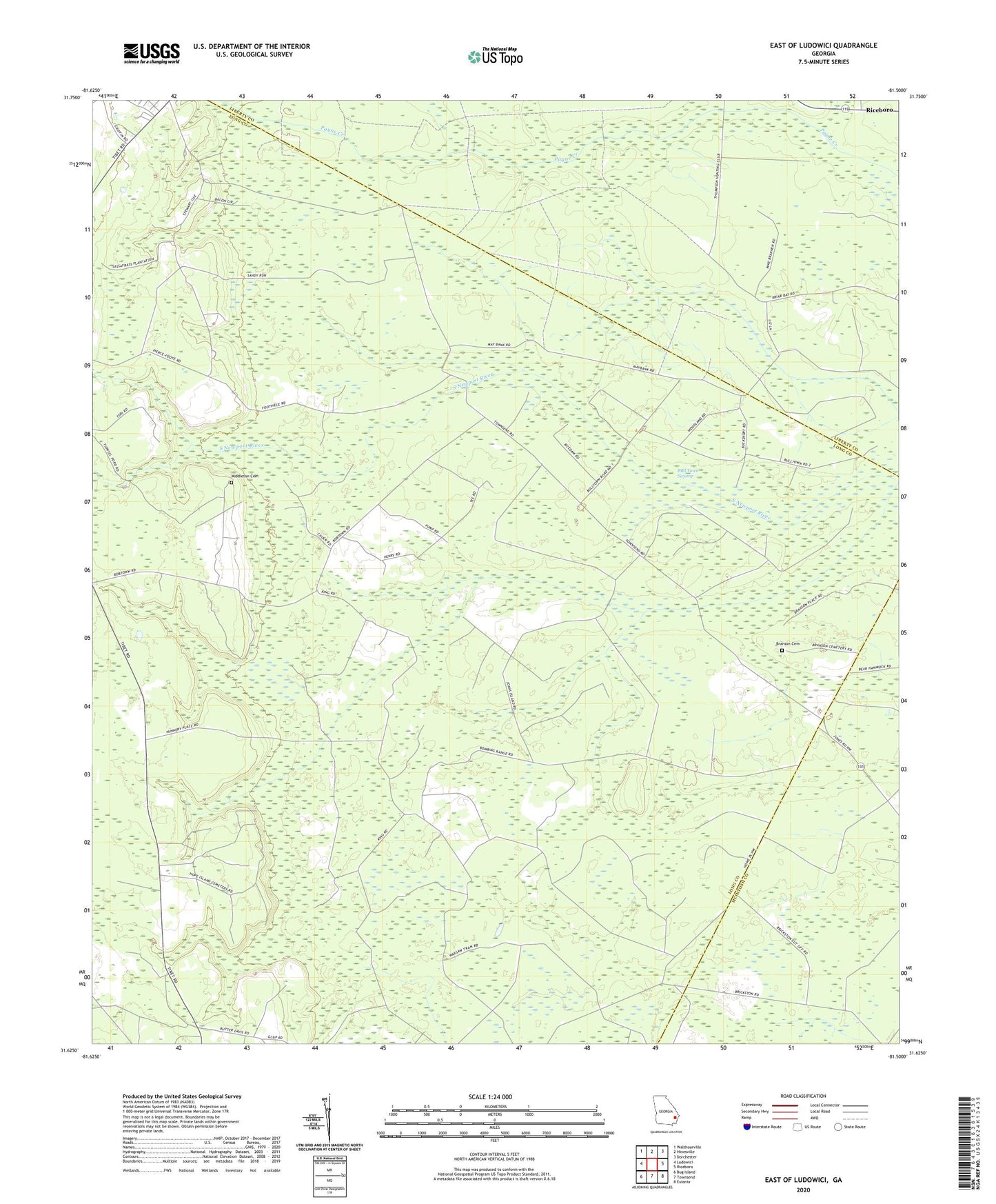
2024 topographic map quadrangle East of Ludowici in the state of Georgia. Scale: 1:24000. Based on the newly updated USGS 7.5' US Topo map series, this map is in the following counties: Long, Liberty, McIntosh. The map contains contour data, water features, and other items you are used to seeing on USGS maps, but also has updated roads and other features. This is the next generation of topographic maps. Printed on high-quality waterproof paper with UV fade-resistant inks.
Quads adjacent to this one:
West: Ludowici
Northwest: Walthourville
North: Hinesville
Northeast: Dorchester
East: Riceboro
Southeast: Eulonia
South: Townsend
Southwest: Bug Island
This map covers the same area as the classic USGS quad with code o31081f5.
Contains the following named places: Branson Cemetery, Middleton Cemetery