
MyTopo
Riceboro Georgia US Topo Map
Couldn't load pickup availability
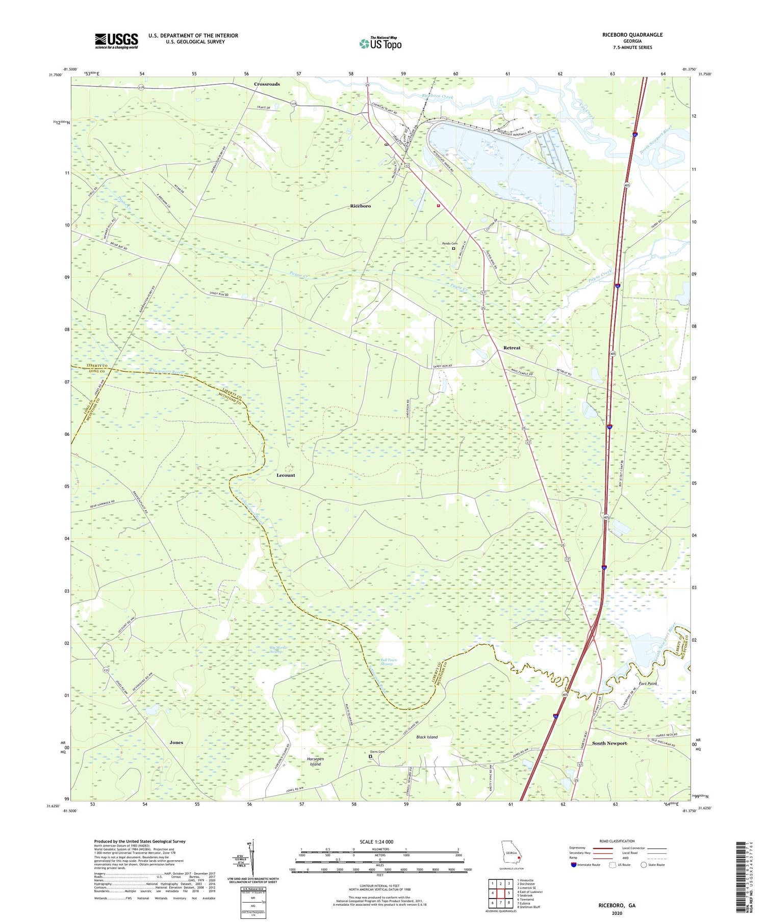
2024 topographic map quadrangle Riceboro in the state of Georgia. Scale: 1:24000. Based on the newly updated USGS 7.5' US Topo map series, this map is in the following counties: Liberty, McIntosh, Long. The map contains contour data, water features, and other items you are used to seeing on USGS maps, but also has updated roads and other features. This is the next generation of topographic maps. Printed on high-quality waterproof paper with UV fade-resistant inks.
Quads adjacent to this one:
West: East of Ludowici
Northwest: Hinesville
North: Dorchester
Northeast: Limerick SE
East: Seabrook
Southeast: Shellman Bluff
South: Eulonia
Southwest: Townsend
This map covers the same area as the classic USGS quad with code o31081f4.
Contains the following named places: Big Mortar Swamp, Black Island, Brewsters Siding, Bull Town Swamp, Cay Creek, City of Riceboro, Crossroads, Davis Cemetery, First African Church, First Anderson Grove Church, First Zion Church, Fort Point, Grant New Church, Horsepen Island, Jones, Jones Temple, Lecount, Miracle Deliverance Church, New Zion Church, Pando Cemetery, Peacock Creek, Retreat, Riceboro, Riceboro Creek, Riceboro Division, Riceboro Fire Department, Riceboro Post Office, Saint James Church, Second Anderson Grove Church, South Newport, Tree of Life Holiness Church, Ways Temple, WSKX-FM (Hinesville), ZIP Code: 31323


