MyTopo
Pebble Hill Georgia US Topo Map
Couldn't load pickup availability
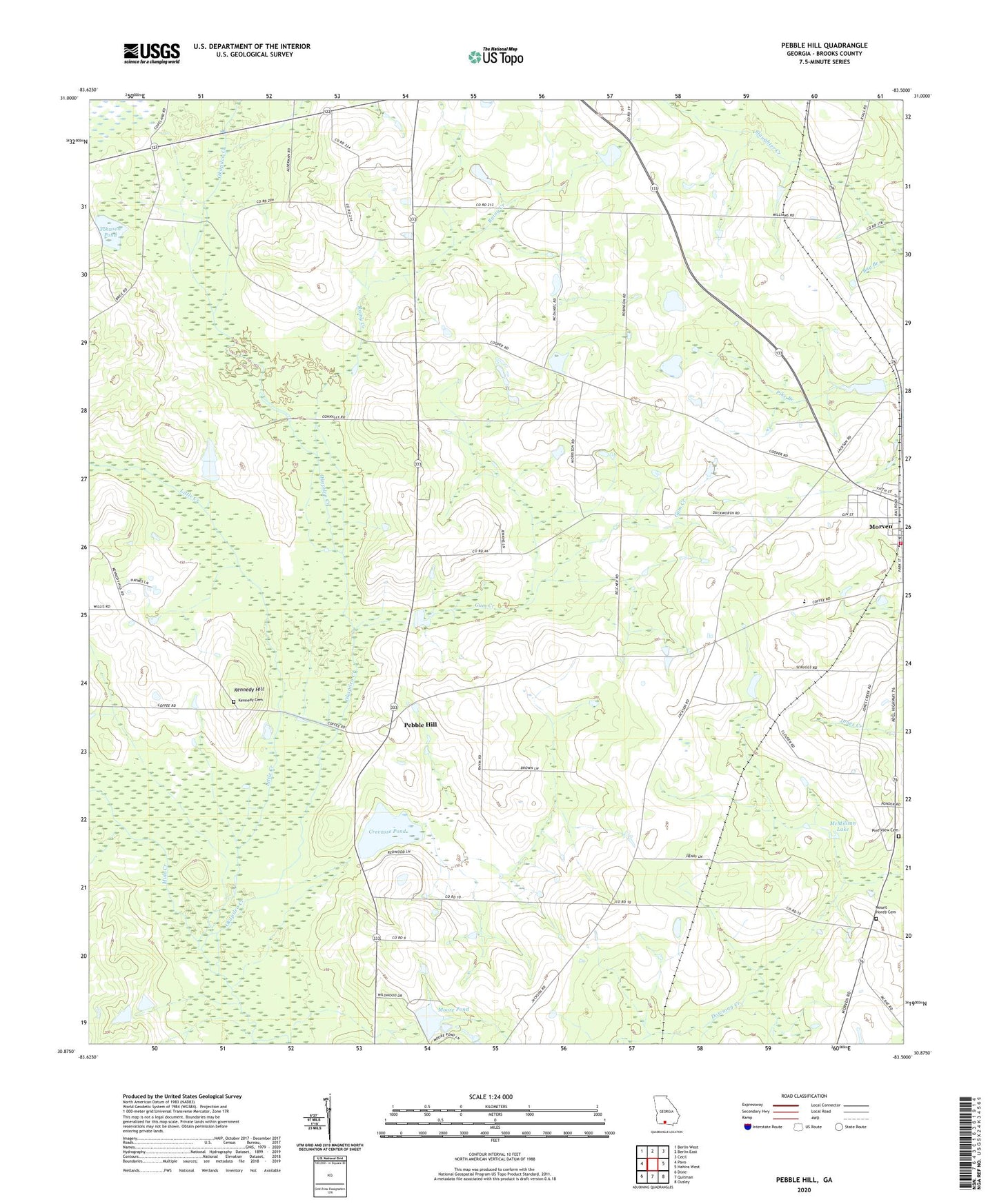
2024 topographic map quadrangle Pebble Hill in the state of Georgia. Scale: 1:24000. Based on the newly updated USGS 7.5' US Topo map series, this map is in the following counties: Brooks. The map contains contour data, water features, and other items you are used to seeing on USGS maps, but also has updated roads and other features. This is the next generation of topographic maps. Printed on high-quality waterproof paper with UV fade-resistant inks.
Quads adjacent to this one:
West: Pavo
Northwest: Berlin West
North: Berlin East
Northeast: Cecil
East: Hahira West
Southeast: Ousley
South: Quitman
Southwest: Dixie
This map covers the same area as the classic USGS quad with code o30083h5.
Contains the following named places: Antioch Church, Bay Branch, Brice Mill, Central School, City of Morven, Crevasse Pond, Dellinory Church, Gum Creek, Johnson Pond, Kennedy, Kennedy Cemetery, Kennedy Hill, Little Creek, McMillian Lake, McMillian Lake Dam, Moore Lake Dam, Moore Pond, Morrison Church, Morven - North Brooks Fire Department, Morven Primary School, Mount Horeb Cemetery, Mount Horeb Church, Mule Creek, New Hope Church, New Macedonia Church, Northeast Brooks Division, Pebble Hill, Pine View Cemetery, Rainy Creek, Robinson Church, Saint James Church, Saint Pauls Church, Salem Church, Siloam Church, Tallokas, Union Church, ZIP Codes: 31625, 31638