MyTopo
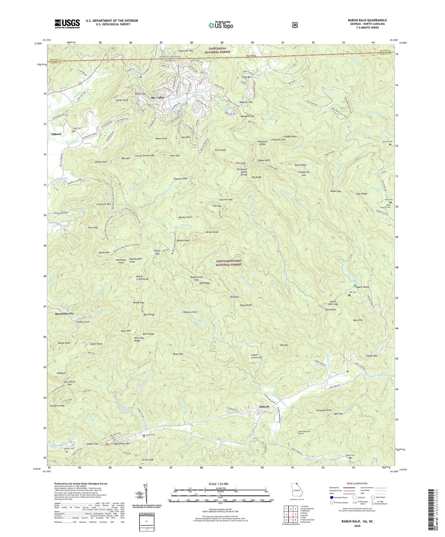
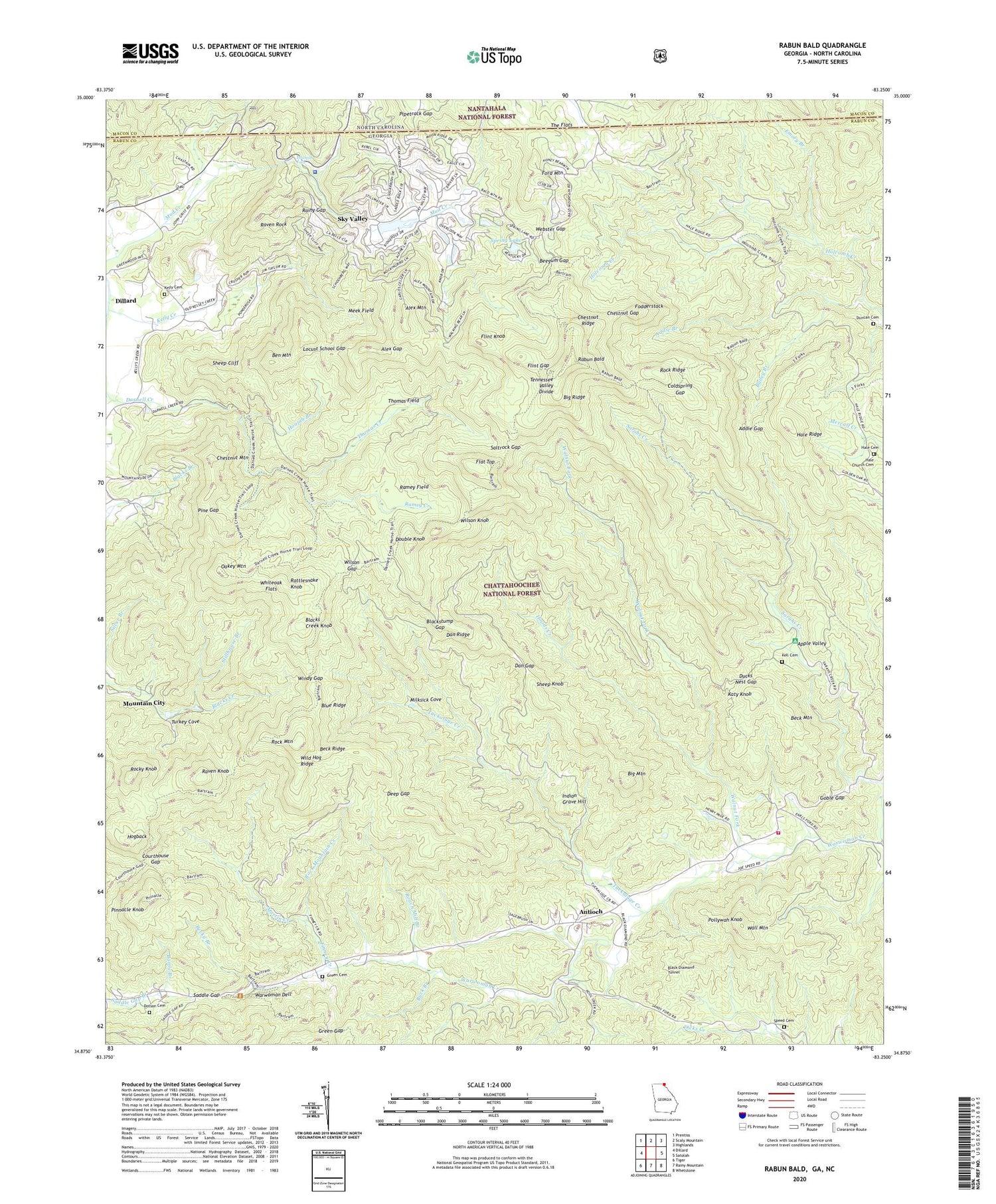
Rabun Bald Georgia US Topo Map
Couldn't load pickup availability
Also explore the Rabun Bald Forest Service Topo of this same quad for updated USFS data
2024 topographic map quadrangle Rabun Bald in the states of Georgia, North Carolina. Scale: 1:24000. Based on the newly updated USGS 7.5' US Topo map series, this map is in the following counties: Rabun, Macon. The map contains contour data, water features, and other items you are used to seeing on USGS maps, but also has updated roads and other features. This is the next generation of topographic maps. Printed on high-quality waterproof paper with UV fade-resistant inks.
Quads adjacent to this one:
West: Dillard
Northwest: Prentiss
North: Scaly Mountain
Northeast: Highlands
East: Satolah
Southeast: Whetstone
South: Rainy Mountain
Southwest: Tiger
Contains the following named places: Addie Branch, Addie Gap, Alex Gap, Alex Mountain, Antioch, Antioch Church, Apple Valley, Bailey Branch, Battle Branch, Battle Branch Church, Beck Mountain, Beck Ridge, Becky Branch, Beegum Gap, Ben Mountain, Big Mountain, Big Ridge, Black Diamond Tunnel, Blacks Creek Knob, Blackstump Gap, Buck Branch, Chestnut Gap, Chestnut Mountain, Chestnut Ridge, City of Sky Valley, Coldspring Gap, Commissioners Rock, Courthouse Gap, Dan Gap, Dan Ridge, Deep Gap, Dotson Cemetery, Double Knob, Ducks Nest Gap, Duncan Cemetery, Emory Branch, Estatoah Falls, Finney Creek, Flat Top, Flint Gap, Flint Knob, Fodderstack, Ford Mountain, Goble Gap, Green Cemetery, Green Gap, Hale Cemetery, Hale Church, Hale Church Cemetery, Hale Ridge, Hogback, Hoods Creek, Hoojah Branch, Indian Grave Hill, Katy Knob, Kell Cemetery, Kelly Cemetery, Kelly Creek, Locust School Gap, Martin Creek, Meek Field, Milksick Cove, Mountain City Division, Oakey Mountain, Penson Knob, Pine Gap, Pinnacle Knob, Pipetrack Gap, Pleasant Hill Church, Pollywah Knob, Rabun Bald, Rabun Gap Quarry, Rainy Gap, Ramey Creek, Ramey Field, Rattlesnake Knob, Raven Knob, Raven Rock, Roach Mill Branch, Rock Mountain, Rock Mountain Creek, Rock Ridge, Rocky Knob, Saddle Gap, Saltrock Gap, Sarahs Creek, Sheep Cliff, Sheep Knob, Silver Branch, Sky Valley, Sky Valley - Scaly Mountain Volunteer Fire Department, Sky Valley Dam, Sky Valley Lake, Sky Valley Police Department, Speed Cemetery, Spring Lake, Stillhouse Branch, The Flat, The Flats, Thomas Creek, Thomas Field, Tuckaluge Creek, Turkey Cove, Wall Mountain, Walnut Fork, Warwoman Dell, Warwoman Dell Picnic Grounds, Warwoman Volunteer Fire Station, Warwoman Wildlife Management Area, Webster Gap, Whiteoak Flats, Wild Hog Ridge, Wilson Gap, Wilson Knob, Windy Gap, ZIP Codes: 30525, 30537


