MyTopo
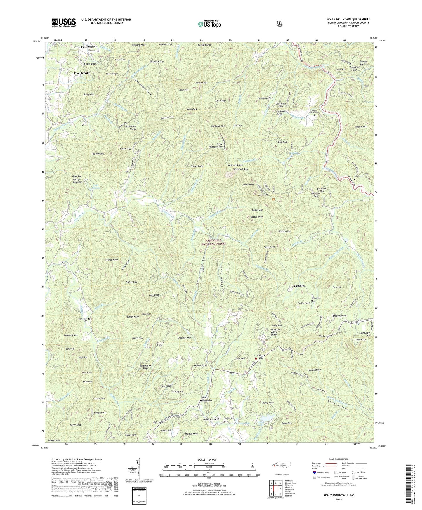
Scaly Mountain North Carolina US Topo Map
Couldn't load pickup availability
Also explore the Scaly Mountain Forest Service Topo of this same quad for updated USFS data
2022 topographic map quadrangle Scaly Mountain in the state of North Carolina. Scale: 1:24000. Based on the newly updated USGS 7.5' US Topo map series, this map is in the following counties: Macon. The map contains contour data, water features, and other items you are used to seeing on USGS maps, but also has updated roads and other features. This is the next generation of topographic maps. Printed on high-quality waterproof paper with UV fade-resistant inks.
Quads adjacent to this one:
West: Prentiss
Northwest: Franklin
North: Corbin Knob
Northeast: Glenville
East: Highlands
Southeast: Satolah
South: Rabun Bald
Southwest: Dillard
This map covers the same area as the classic USGS quad with code o35083a3.
Contains the following named places: Abes Creek, Ammons Knob, Bates Gap, Bates Ridge, Bennies Branch, Board Gap, Bristle Ridge, Broadway Gap, Brush Creek, Buck Creek, Buck Knob, Buckeye Creek, Buckhorn Gap, Buckhorn Mountain, Cadon Branch, Cadon Gap, California Gap, California Ridge, Cedar Cliff, Chestnut Mountain, Conley Ridge, Crow Creek, Cullasaja Falls, Curtiss Knob, Dan Gap, Doubletop Branch, Doubletop Fields, Dover Knob, Drymans Branch, Drymans Chapel, Duck Mountain, Emmaline Gap, Evans Creek, Everett Mountain, Falls Poplar Cove, Fisher Lake, Fishhawk Mountain, Fork Mountain, Fork Ridge, Fulcher Branch, Fulchertown, George Gray Mountain, Gold Mine, Gold Mine Branch, Grassy Knobs, Gray Gap, Green Cove, Happy Hill, Henderson Mountain, Hickory Gap, Hickory Knoll Church, High Holly, High Top, Howard Gap, Hurrah Ridge, Jake Branch, Jimmy Gap, Jones Gap, Jones Knob, Kinley Mountain, Lake Charles, Lake Charles Dam, Lamb Mountain, Laurel Branch, Licklog Gap, Lickskillet, Little Fishhawk Mountain, Little Scaly, Lloyd Cove, Low Gap, Mc Connell Cemetery, McDowell Mountain, Middle Creek, Middle Creek Mill, Miller Cemetery, Mount Moriah Cemetery, Natural Bridge, Nichols Branch, Nickajack Gap, Noname, Osage Lake, Osage Lake Dam, Osage Mountain, Panther Knob, Peggy Knob, Penson Mountain, Pine Knob, Piney Knob Fork, Plass Gap, Possum Branch, R C Balfour Lower Dam, Rattlesnake Ridge, Rector Knob, Richey Gap, Richey Knob, Rocky Knob, Saltrock Gap, Scaly Mountain, Scaly Mountain Post Office, Scaly School, Sheep Hollow, Shoal Creek, Short Creek, Sky Valley - Scaly Mountain Volunteer Fire and Rescue, Slick Rock, Smart Branch, Stephens Creek, Stiles Cemetery, Stillhouse Branch, Tater Hill, Tessentee Church, The Catstairs, The Flats, The Pinnacle, Thomas Knob, Township of Flats, Township of Sugarfork, Tumblerville, Turkey Knob, Turtle Pond Creek, Watkins Cemetery, Watkins Creek, Watkins Mill, Webb Branch, Wheatfield Branch, Whiterock Branch, Whiterock Gap, Whiterock Mountain, Wilson Cemetery, Wolf Gap, Wolf Rock, ZIP Code: 28775


