MyTopo
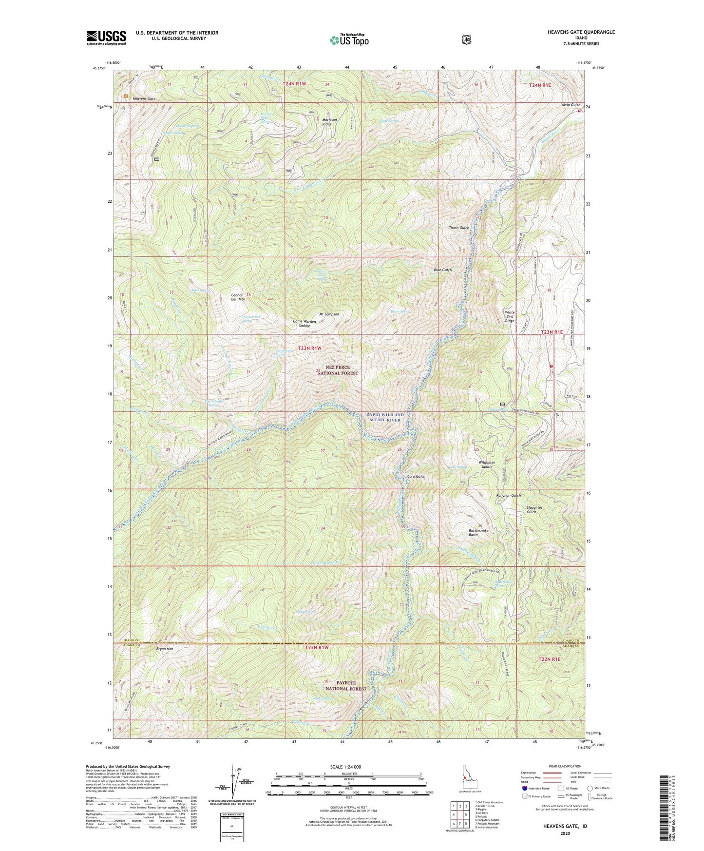
Heavens Gate Idaho US Topo Map
Couldn't load pickup availability
Also explore the Heavens Gate Forest Service Topo of this same quad for updated USFS data
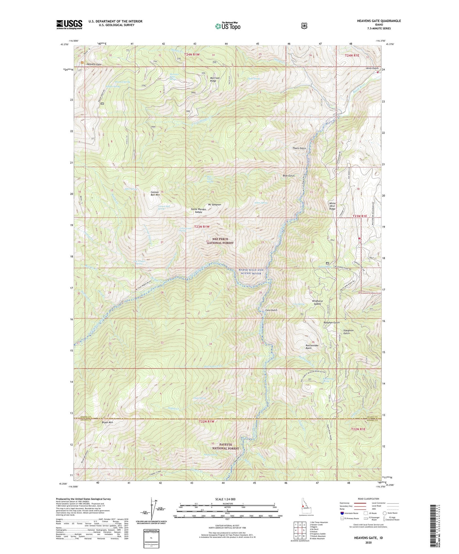
2024 topographic map quadrangle Heavens Gate in the state of Idaho. Scale: 1:24000. Based on the newly updated USGS 7.5' US Topo map series, this map is in the following counties: Idaho, Adams. The map contains contour data, water features, and other items you are used to seeing on USGS maps, but also has updated roads and other features. This is the next generation of topographic maps. Printed on high-quality waterproof paper with UV fade-resistant inks.
Quads adjacent to this one:
West: He Devil
Northwest: Old Timer Mountain
North: Kessler Creek
Northeast: Riggins
East: Pollock
Southeast: Indian Mountain
South: Pollock Mountain
Southwest: Purgatory Saddle
This map covers the same area as the classic USGS quad with code o45116c4.
Contains the following named places: Aitken Spring, Alder Spring, Alvin Gulch, Blue Gulch, Blue Gulch Spring, Bridge Creek, Bryan Mountain, Cannon Ball Mountain, Cannon Ball Spring, Cannon Creek, Castle Creek, Chain Spring, Clyde Spring, Coconut Grove, Coconut Grove Creek, Copper Creek, Cora Gulch, Cora Spring, Cottonwood Creek, Cottonwood Spring, Cougar Creek, Deep Creek, DeVeny Place, Dutch Oven Creek, Game Warden Saddle, Hall Creek, Hanson Creek, Heavens Gate, Howard Spring, Log Trough Spring, McCrea Creek, McCrea Place, Morrison Ridge, Morrison Ridge Spring, Mount Sampson, Mullin Spring, Oregon Tipton Mnine, Potter Place, Rapid River Fish Hatchery, Rattlesnake Basin, Rattlesnake Creek, Rattlesnake Spring, Rodger Spring, Saddle Camp, Salmon River Rural Fire District Station 2, Salmon River Rural Fire District Station 3, Shingle Creek, Silvers Station, Smoky Spring, South Fork Shingle Creek, Thorn Gulch, Vista Point Lookout, West Fork Rapid River, White Bird Ridge, Wildhorse Saddle, Windy Ridge, Wurl Cabin, Wyant Camp, Wyant Creek


