MyTopo
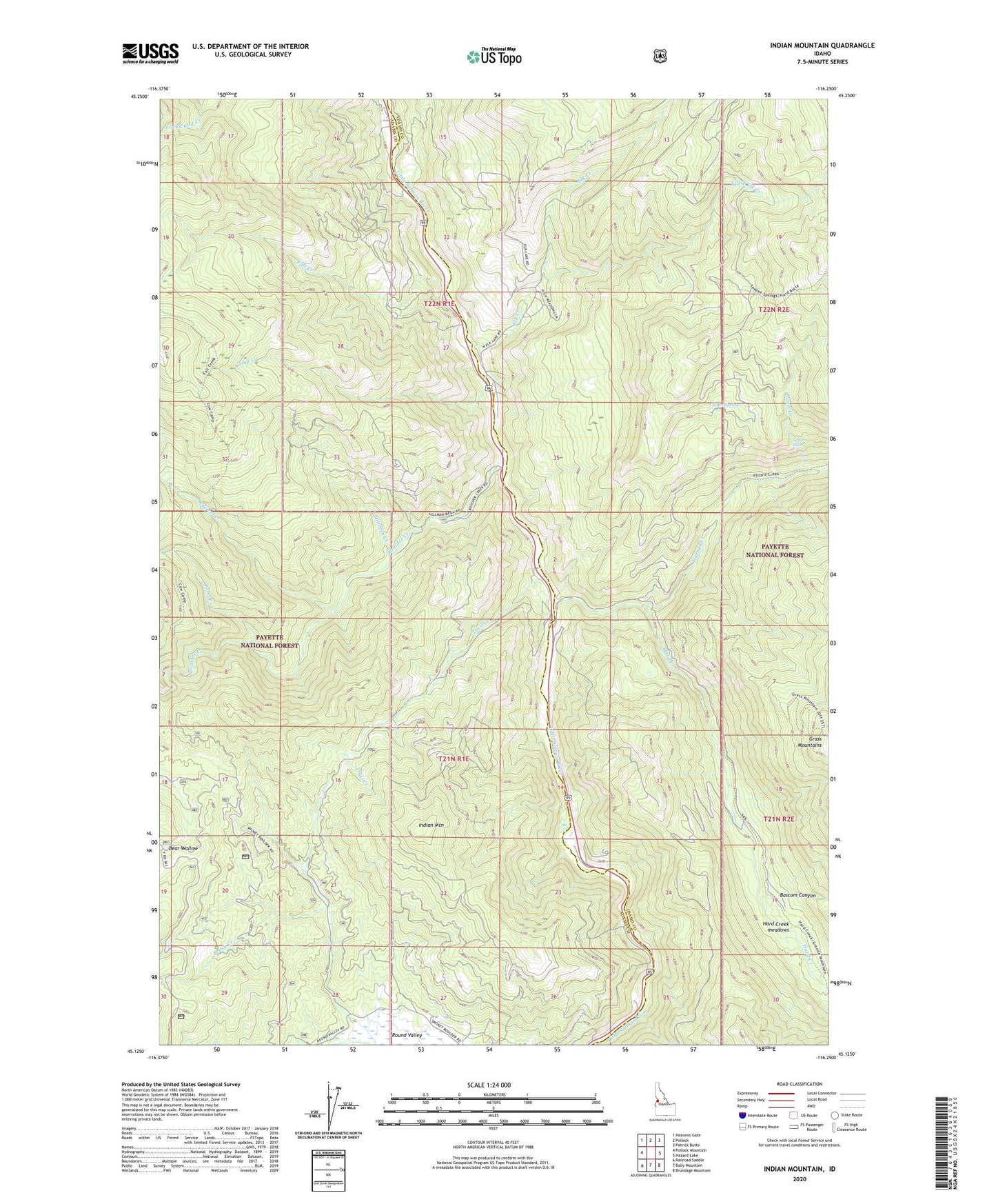
Indian Mountain Idaho US Topo Map
Couldn't load pickup availability
Also explore the Indian Mountain Forest Service Topo of this same quad for updated USFS data
2024 topographic map quadrangle Indian Mountain in the state of Idaho. Scale: 1:24000. Based on the newly updated USGS 7.5' US Topo map series, this map is in the following counties: Adams, Idaho. The map contains contour data, water features, and other items you are used to seeing on USGS maps, but also has updated roads and other features. This is the next generation of topographic maps. Printed on high-quality waterproof paper with UV fade-resistant inks.
Quads adjacent to this one:
West: Pollock Mountain
Northwest: Heavens Gate
North: Pollock
Northeast: Patrick Butte
East: Hazard Lake
Southeast: Brundage Mountain
South: Bally Mountain
Southwest: Railroad Saddle
This map covers the same area as the classic USGS quad with code o45116b3.
Contains the following named places: Bascom Canyon, Boulder Creek, Brush Creek, Camp Creek, Elk Creek, Fall Creek, Fall Creek Access Area, Hard Creek, Hard Creek meadows, Hazard Creek, Hazard Falls, Hillman Creek, Hyatt Creek, Indian Mountain, Little Elk Creek, Lockwood Creek, Pony Creek, Squirrel Creek, Tepee Springs, Trail Creek