MyTopo
Jump Creek Canyon Idaho US Topo Map
Couldn't load pickup availability
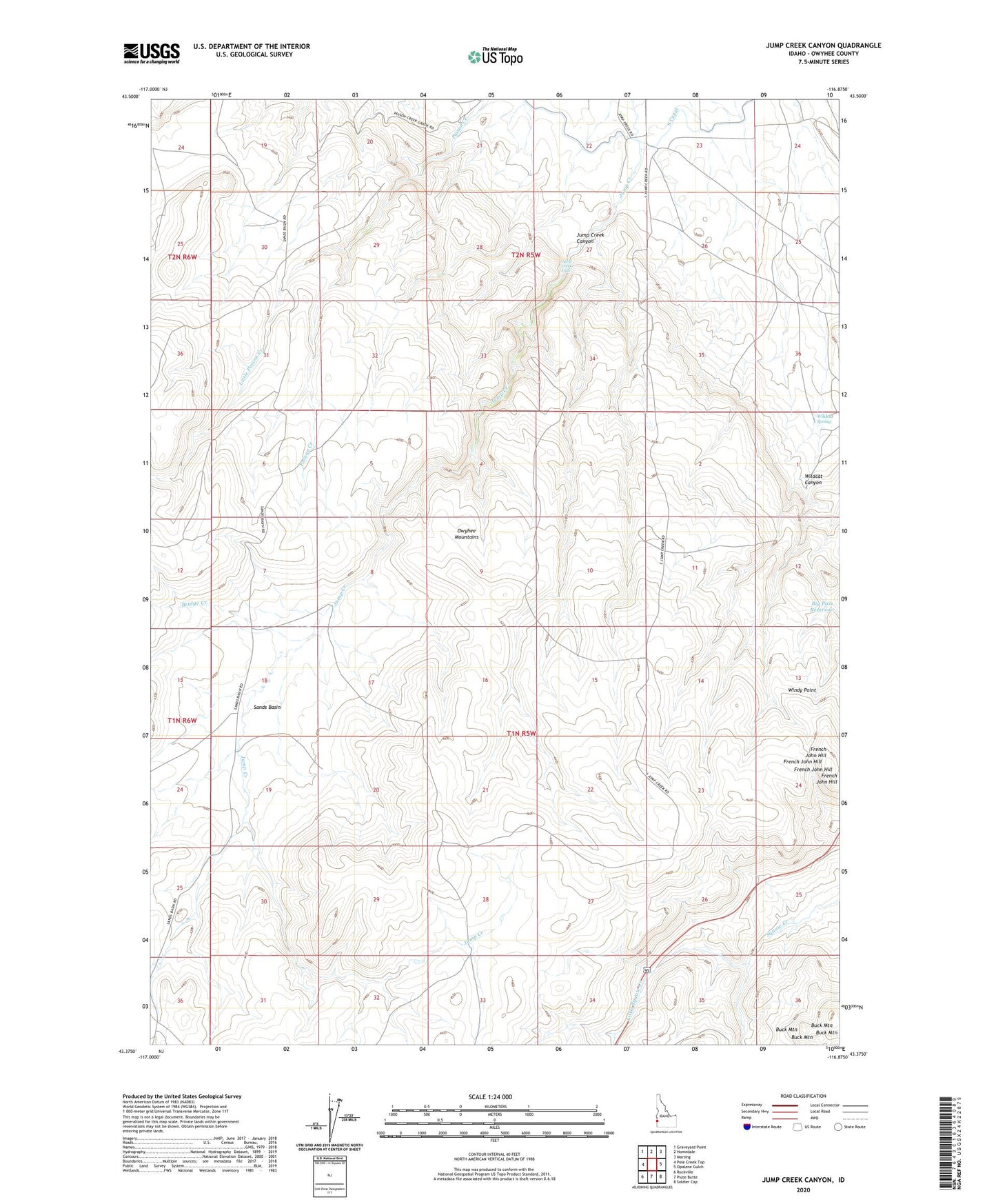
2024 topographic map quadrangle Jump Creek Canyon in the state of Idaho. Scale: 1:24000. Based on the newly updated USGS 7.5' US Topo map series, this map is in the following counties: Owyhee. The map contains contour data, water features, and other items you are used to seeing on USGS maps, but also has updated roads and other features. This is the next generation of topographic maps. Printed on high-quality waterproof paper with UV fade-resistant inks.
Quads adjacent to this one:
West: Pole Creek Top
Northwest: Graveyard Point
North: Homedale
Northeast: Marsing
East: Opalene Gulch
Southeast: Soldier Cap
South: Piute Butte
Southwest: Rockville
This map covers the same area as the classic USGS quad with code o43116d8.
Contains the following named places: Big Pass Reservoir, Bridge Creek, Buck Mountain, French John Hill, Jump Creek Canyon, Jump Creek Falls, Little Poison Creek, Little Squaw Creek, Sands, Sands Basin, Wildcat Canyon, Wildcat Spring, Windy Point