MyTopo
Marion Illinois US Topo Map
Couldn't load pickup availability
Also explore the Marion Forest Service Topo of this same quad for updated USFS data
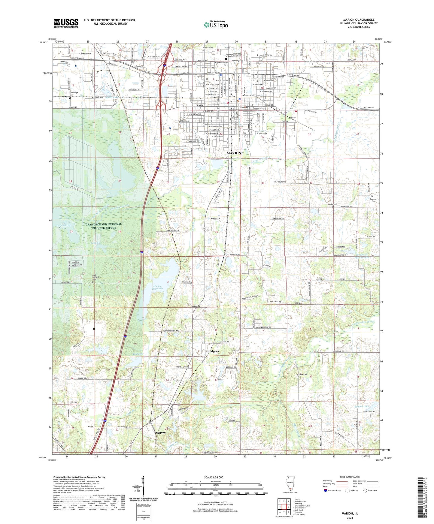
2024 topographic map quadrangle Marion in the state of Illinois. Scale: 1:24000. Based on the newly updated USGS 7.5' US Topo map series, this map is in the following counties: Williamson. The map contains contour data, water features, and other items you are used to seeing on USGS maps, but also has updated roads and other features. This is the next generation of topographic maps. Printed on high-quality waterproof paper with UV fade-resistant inks.
Quads adjacent to this one:
West: Crab Orchard Lake
Northwest: Herrin
North: Johnston City
Northeast: Pittsburg
East: Crab Orchard
Southeast: Creal Springs
South: Goreville
Southwest: Lick Creek
This map covers the same area as the classic USGS quad with code o37088f8.
Contains the following named places: Air Evac Lifeteam Ambulance, Aldersgate United Methodist Church, Apostolic House of Worship, Ashley Park, Bainbridge, Bainbridge Cemetery, Belford Lake, Belford Lake Dam, Bethel African Methodist Episcopal Church, Bill Butler Mobile Home Park, Brainate School, Caplinger Cemetery, Chamness, Church of Christ, Church of God, Church of God in Christ, City of Marion, Community Chapel Church, Cooksy School, Crab Orchard Cemetery, Douglas School, Edwards Field, Fabick Five Heliport, First Apostolic Church, First Assembly of God Church, First Baptist Church, First Christian Church, First Church of Christ Scientist, First Church of the Nazarene, First Presbyterian Church, First United Methodist Church, Fountain Church, Fountain School, Freedom Church, Full Gospel Tabernacle, Grange Church, Hanks Cemetery, Heartland Christian Church, Heartland Regional Medical Center, Hudgens, Independent Order of Oddfellows Cemetery, Jefferson Elementary School, John W Jones Park, Juanitas Mobile Home Park, Kay - Lou Trailer Courts, Kimmel School, Knights of Pythias Lake, Knights of Pythias Lake Dam, Koonce Cemetery, Lake of Egypt, Lake of Egypt Dam, Lantz School, Life Line Emergency Medical Response Services, Limb Branch, Lincoln Elementary School, Little Saline Creek, Longfellow Elementary School, Maplewood Cemetery, Marion, Marion Carnegie Library, Marion Center Post Office, Marion Christian Center, Marion City Hall, Marion Country Club Dam, Marion Country Club Lake, Marion Cultural and Civic Center, Marion Fire Department, Marion High School, Marion Junior High School, Marion Memorial Hospital, Marion Mobile Home Village, Marion Police Department, Marion Post Office, Marion Reservoir, Marion Reservoir Dam, Marion Veterans Affairs Medical Center, McKinley School, Messiah Christian Church, Mission Ridge School, Moak School, Neilson, Orpheum Theater, Our Redeemer Lutheran Church, Pamela Park, Parish Park Baptist Church, Pauls Chapel Missionary Baptist Church, Pond 60, Pond 60 Dam, Pyramid Park, Ralls Grove Church, Ray Fosse Park, Reorganized Church of Jesus Christ of Latter Day Saints, Robinson School, Rose Hill Cemetery, Russell Street Park, Saint James Episcopal Church, Saint Josephs Catholic Church, Saluki Lake, Sarildia School, Second Baptist Church, Shiloh Church, Skaggs School, Southern Election Precinct, Southern Illinois Country Club, Teal Lake, Teal Lake Dam, Third Baptist Church, Thorn Thicket School, Timmons, Tower Square Plaza, Trinity Free Pentecostal Church, United States Penitentiary Marion, Veterans Administration Medical Center Heliport, Warder Street Baptist Church, Washington Elementary School, Washington School, West Boulevard Baptist Church, West Marion Election Precinct, WGGH-AM (Marion), White Oak Creek, Williams Trailer Court, Williamson County, Williamson County Ambulance Service, Williamson County Courthouse, Williamson County Fairgrounds, Williamson County Fire Protection District Station 1, Williamson County Sheriff's Office, Zion United Church of Christ, ZIP Code: 62959


