MyTopo
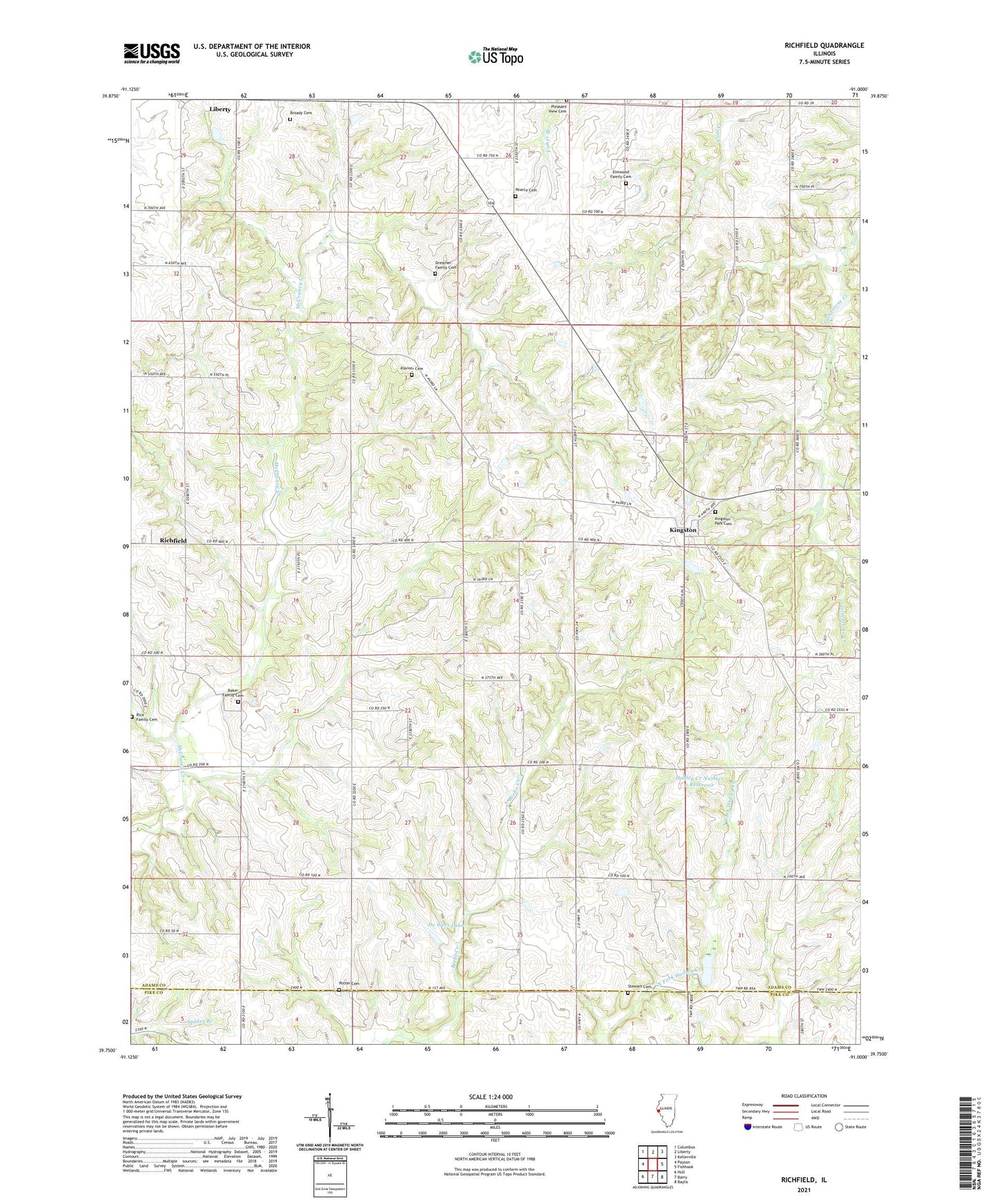
Richfield Illinois US Topo Map
Couldn't load pickup availability
2024 topographic map quadrangle Richfield in the state of Illinois. Scale: 1:24000. Based on the newly updated USGS 7.5' US Topo map series, this map is in the following counties: Adams, Pike. The map contains contour data, water features, and other items you are used to seeing on USGS maps, but also has updated roads and other features. This is the next generation of topographic maps. Printed on high-quality waterproof paper with UV fade-resistant inks.
Quads adjacent to this one:
West: Payson
Northwest: Columbus
North: Liberty
Northeast: Kellerville
East: Fishhook
Southeast: Baylis
South: Barry
Southwest: Hull
This map covers the same area as the classic USGS quad with code o39091g1.
Contains the following named places: Akers School, Baker Family Cemetery, Brick School, Broady Cemetery, Center School, Dale A Klassing Airport, De Wees Lake, De Wees Lake Dam, Drescher Family Cemetery, Elmwood Family Cemetery, Hadley Creek Number 2 Dam, Hadley Creek Number 2 Reservoir, Hickory Grove School, Kingston, Kingston Census Designated Place, Kingston Park Cemetery, Klarner Cemetery, Lone Oak School, Maynard School, Pearce Cemetery, Pin Oak School, Pleasant View Cemetery, Potter Cemetery, Rice Family Cemetery, Richfield, Richfield Census Designated Place, Richfield Quarry, Rock School, Rose Hill School, School Number 7, Stewart Cemetery, Township of Richfield, ZIP Code: 62347


