MyTopo
Connersville Indiana US Topo Map
Couldn't load pickup availability
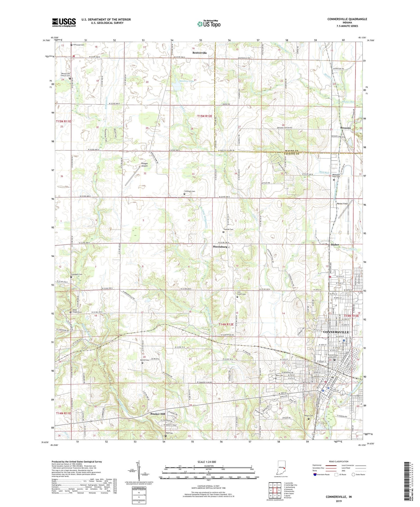
2022 topographic map quadrangle Connersville in the state of Indiana. Scale: 1:24000. Based on the newly updated USGS 7.5' US Topo map series, this map is in the following counties: Fayette, Wayne. The map contains contour data, water features, and other items you are used to seeing on USGS maps, but also has updated roads and other features. This is the next generation of topographic maps. Printed on high-quality waterproof paper with UV fade-resistant inks.
Quads adjacent to this one:
West: Falmouth
Northwest: Lewisville
North: Cambridge City
Northeast: Jacksonburg
East: Brownsville
Southeast: Everton
South: Alpine
Southwest: New Salem
This map covers the same area as the classic USGS quad with code o39085f2.
Contains the following named places: Beesons, Bentonville, Bentonville Church, Bentonville Church Cemetery, Bentonville Volunteer Fire Department, Bunker Hill, Caldwell Cemetery, Campbell Cemetery, City of Connersville, Connersville, Connersville Area Vocational School, Connersville City Cemetery, Connersville Fire Department Station 1, Connersville Fire Department Station 3, Connersville Junior High North, Connersville Police Department, Connersville Post Office, Connersville Senior High School, Dale Cemetery, East View School, Eastview Elementary School, Fayette County, Fayette County Emergency Medical Services, Fayette County Sheriff's Office, Fayette Regional Health System, Grandview Elementary School, Harrisburg, Heartsavers Emergency Medical Services, Huber, Junior High School North, Junior High School South, Kirkwood Cemetery, Lick Creek Cemetery, Longwood Crossing, Manlove Lake, Manlove Park Dam, Maplewood Elementary School, Martin Cemetery, Methodist Farm Cemetery, Mettel Field, Mixed Creek, Parker Cemetery, Roberts Park, Tate Cemetery, Thomas Cemetery, Township of Connersville, Township of Harrison, Tyner Crossing, Valley Grove Church, WCNB-AM (Connersville), WCNB-FM, Whitwater Canal, Wiley Chapel Cemetery


