MyTopo
Mitchell Indiana US Topo Map
Couldn't load pickup availability
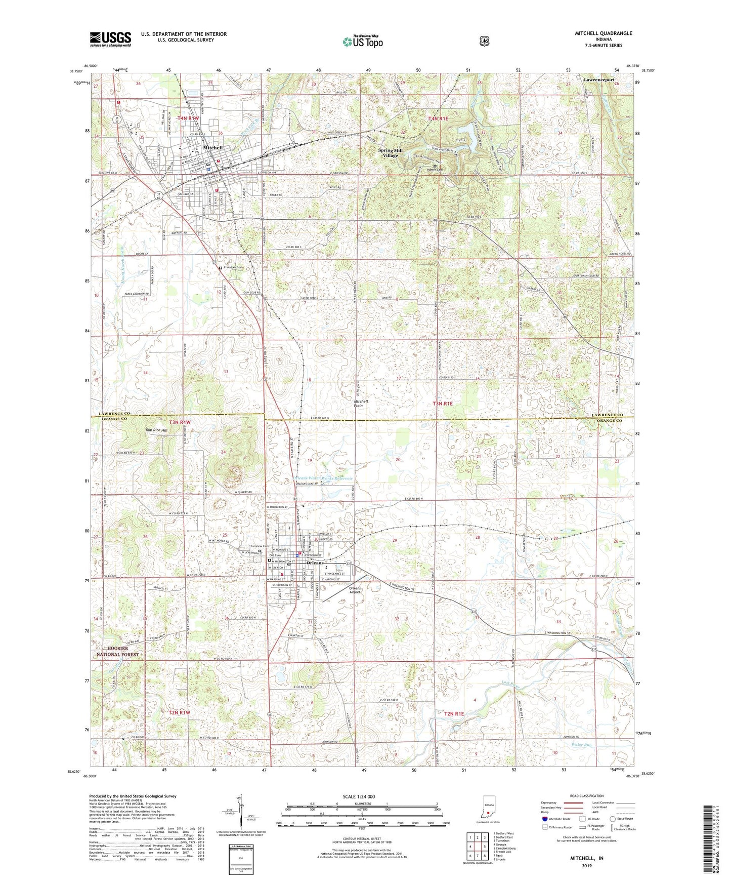
2022 topographic map quadrangle Mitchell in the state of Indiana. Scale: 1:24000. Based on the newly updated USGS 7.5' US Topo map series, this map is in the following counties: Lawrence, Orange. The map contains contour data, water features, and other items you are used to seeing on USGS maps, but also has updated roads and other features. This is the next generation of topographic maps. Printed on high-quality waterproof paper with UV fade-resistant inks.
Quads adjacent to this one:
West: Georgia
Northwest: Bedford West
North: Bedford East
Northeast: Tunnelton
East: Campbellsburg
Southeast: Livonia
South: Paoli
Southwest: French Lick
This map covers the same area as the classic USGS quad with code o38086f4.
Contains the following named places: Arnold Creek, Burris Elementary School, City of Mitchell, Crandall Farms, Fairview Cemetery, First Baptist Church of Orleans, Freedom Cemetery, Hamer Cemetery, Holiday Drive-In, Liberty Church, Marion Township Rural Fire Department, Mitchell, Mitchell Fire Department Station 1, Mitchell Fire Department Station 2, Mitchell High School, Mitchell Police Department, Mitchell Post Office, Mount Carmel Church, Mount Hebron Church, Old Cemetery, Orange County House of Prayer, Orange County Rural Volunteer Fire Department District 2, Orleans, Orleans Airport, Orleans Elementary School, Orleans Junior Senior High School, Orleans Police Department, Orleans Post Office, Orleans Quarry, Orleans Springs, Orleans United Methodist Church, Orleans Volunteer Fire Department, Orleans Water Works Reservoir, Orleans Water Works Reservoir Dam, Pilgrim Campground, Purdue Experimental Orchard, River View Farms, Small Drain, Spring Mall Park Lake, Spring Mall Park Lake Dam, Spring Mill State Park, Spring Mill Village, Tom Rice Hill, Town of Orleans, Township of Marion, Township of Orleans, Union Chapel, Water Run, ZIP Code: 47452