MyTopo
Otisco Indiana US Topo Map
Couldn't load pickup availability
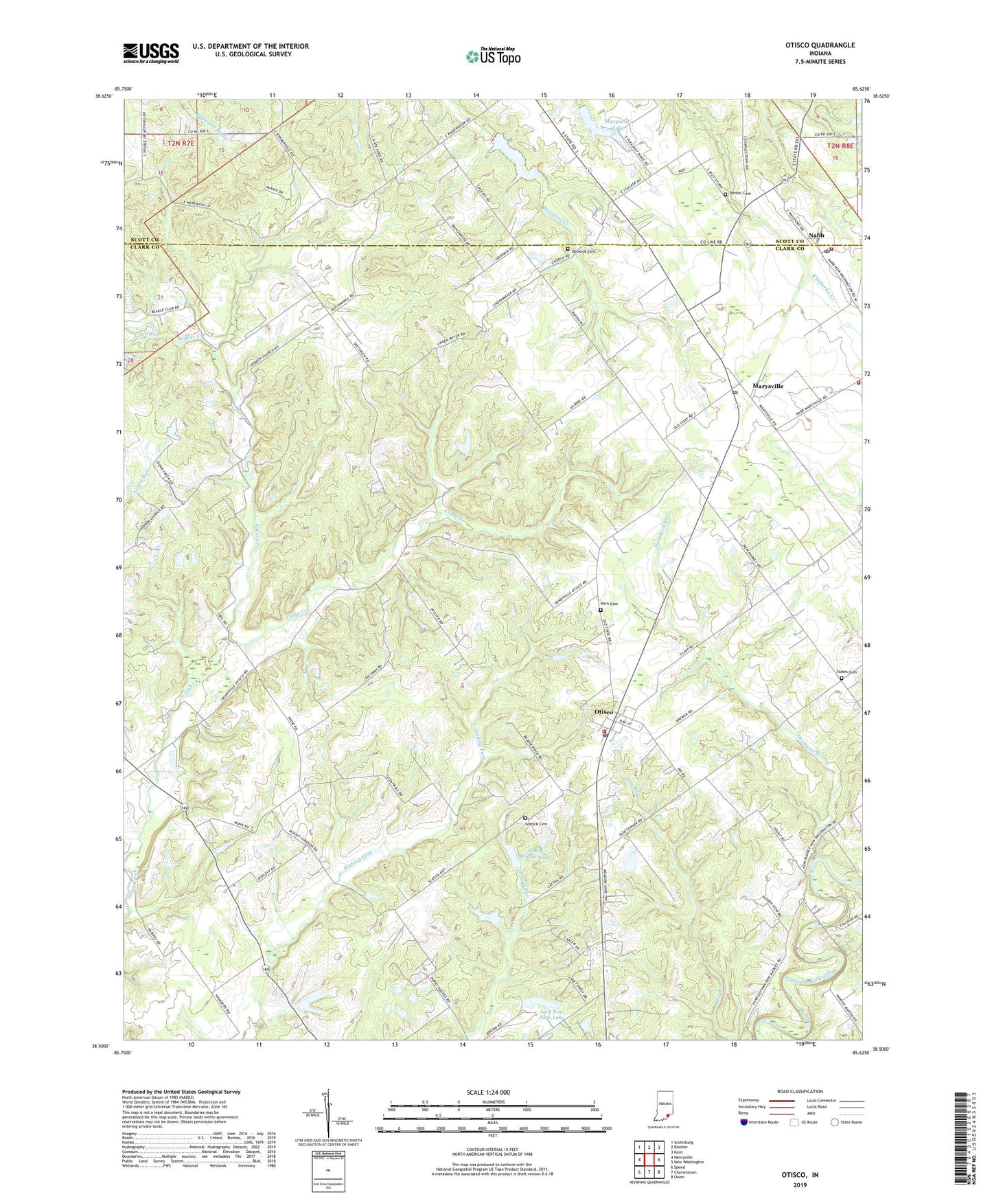
2022 topographic map quadrangle Otisco in the state of Indiana. Scale: 1:24000. Based on the newly updated USGS 7.5' US Topo map series, this map is in the following counties: Clark, Scott. The map contains contour data, water features, and other items you are used to seeing on USGS maps, but also has updated roads and other features. This is the next generation of topographic maps. Printed on high-quality waterproof paper with UV fade-resistant inks.
Quads adjacent to this one:
West: Henryville
Northwest: Scottsburg
North: Blocher
Northeast: Kent
East: New Washington
Southeast: Owen
South: Charlestown
Southwest: Speed
This map covers the same area as the classic USGS quad with code o38085e6.
Contains the following named places: Beswick Cemetery, Bethel Cemetery, Bright Run, Cave Run, Charlestown Volunteer Fire Department Station 92, Clegg Creek, Clegg School, Emmanuel Church, Hebron Church, Henthorn Branch, Hughes Station, Jack Pine Park Lake, Jack Pine Park Lake Dam, Kern Cemetery, Marysville, Marysville Lake, Marysville Lake Dam, Marysville Post Office, Mount Lebanon Church, Mount Moriah Church, Nabb, Nabb Post Office, Nabb Radio Range Station, New Washington Fire Department, New Washington Fire Department Station 2, Otisco, Otisco Post Office, Seatick Cemetery, Shady Hollow Lake, Shady Hollow Lake Dam, States Cemetery, Township of Oregon, ZIP Code: 47163