MyTopo
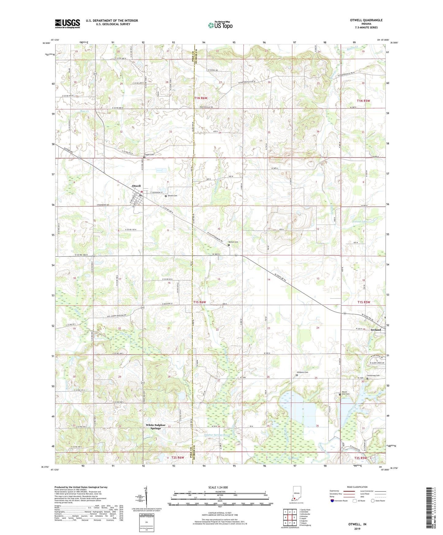
Otwell Indiana US Topo Map
Couldn't load pickup availability
2022 topographic map quadrangle Otwell in the state of Indiana. Scale: 1:24000. Based on the newly updated USGS 7.5' US Topo map series, this map is in the following counties: Dubois, Pike. The map contains contour data, water features, and other items you are used to seeing on USGS maps, but also has updated roads and other features. This is the next generation of topographic maps. Printed on high-quality waterproof paper with UV fade-resistant inks.
Quads adjacent to this one:
West: Winslow
Northwest: Sandy Hook
North: Glendale
Northeast: Alfordsville
East: Jasper
Southeast: Huntingburg
South: Velpen
Southwest: Augusta
This map covers the same area as the classic USGS quad with code o38087d1.
Contains the following named places: Altar Creek, Armstrong Cemetery, Bethel Cemetery, Big Bottom, Bone Creek, Chapel Cemetery, County Ditch, Crooked Creek, Hillsboro Cemetery, Ire Run, Ireland Brook, Ireland Lake, Iva Union Church, Jefferson Township Fire Department, Lake in the Woods Dam, Lemmon Church, Little Flat Creek, Mount Zion Cemetery, New Lebanon Church, New Liberty Union Church, Otwell, Otwell Cemetery, Otwell Census Designated Place, Otwell Elementary School, Otwell Holiness Camp, Otwell Post Office, Rizzley Creek, Saint Johns Church, Sulphur Springs Brook, Township of Boone, Township of Madison, Traylor Union Church, Vincent Church, White Sulphur Springs, ZIP Code: 47564


