MyTopo
Jasper Indiana US Topo Map
Couldn't load pickup availability
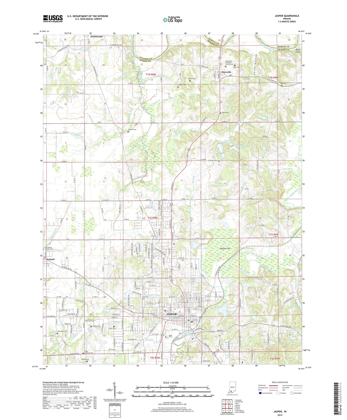
2022 topographic map quadrangle Jasper in the state of Indiana. Scale: 1:24000. Based on the newly updated USGS 7.5' US Topo map series, this map is in the following counties: Dubois, Daviess, Martin. The map contains contour data, water features, and other items you are used to seeing on USGS maps, but also has updated roads and other features. This is the next generation of topographic maps. Printed on high-quality waterproof paper with UV fade-resistant inks.
Quads adjacent to this one:
West: Otwell
Northwest: Glendale
North: Alfordsville
Northeast: Rusk
East: Dubois
Southeast: Saint Anthony
South: Huntingburg
Southwest: Velpen
This map covers the same area as the classic USGS quad with code o38086d8.
Contains the following named places: Ackerman Branch, Alexander Cemetery, Alexander Run, Armory Park, Bison Branch, Briedenbaugh Lake, Briedenbaugh Lake Dam, Buchta Airport, Buck Shoals, Buffalo Flat, Buffalo Stream, Calf Branch, Calumet Lake, Calumet Lake Dam, Calumet Run, Cavender Cemetery, Cavender Run, Chattin Cemetery, City of Jasper, Cline Brook, Coon Run, Cooper Cemetery, Cooper Run, Deerwood Lake, Deerwood Lake Dam, Dillin Cholera Cemetery, Ditch Branch, Dubois County Sheriff's Office, East Fork Mill Creek, Evans Brook, Evans Cemetery, Fish Run, Grist Run, Haysville, Haysville Elementary School, Haysville Run, Haysville Volunteer Fire Department, High Ditch, Hole Run, Hope Cemetery, Hope Drain, Indiana State Police District 34, Ireland, Ireland Elementary School, Ireland Volunteer Fire Department, Izaak Walton Lake, Izaak Walton Lakes, Izaak Walton Lakes Dam, Jasper, Jasper Brook, Jasper Drain, Jasper Fire Department Station 1, Jasper Lake, Jasper Lake Dam, Jasper Police Department, Jasper Post Office, Jasper Volunteer Fire Department Station 3, Kelso Cemetery, Little Creek, Long Ditch, Lottes Lake, Lottes Lake Dam, McKee Cemetery, Memorial Hospital and Health Care Center, Mill Creek, Mud Branch, Mudhole Branch, Near Brook, Part Brook, Pat Run, Plain Drain, Portersville, Portersville Drain, Reed Cemetery, Riz Run, Ruxer Lake, Ruxer Lake Dam, Saint Joseph School, Saint Marys Catholic Cemetery, Saint Pauls Lutheran Church Cemetery, Sherritt Cemetery, Sherritt Drain, Shiloh Church, Shiloh Drain, Shoal Run, Township of Bainbridge, Water Drain, White Hollow, Wilhoit Cemetery, ZIP Code: 47546