MyTopo
Rexville Indiana US Topo Map
Couldn't load pickup availability
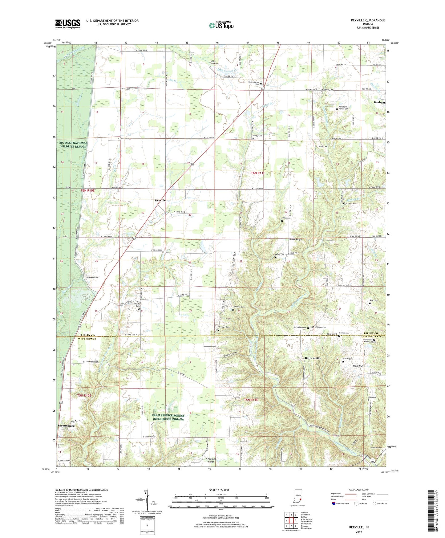
2022 topographic map quadrangle Rexville in the state of Indiana. Scale: 1:24000. Based on the newly updated USGS 7.5' US Topo map series, this map is in the following counties: Ripley, Jefferson. The map contains contour data, water features, and other items you are used to seeing on USGS maps, but also has updated roads and other features. This is the next generation of topographic maps. Printed on high-quality waterproof paper with UV fade-resistant inks.
Quads adjacent to this one:
West: San Jacinto
Northwest: Holton
North: Versailles
Northeast: Milan
East: Cross Plains
Southeast: Bennington
South: Canaan
Southwest: Clifty Falls
This map covers the same area as the classic USGS quad with code o38085h3.
Contains the following named places: Barbersville, Bates Ridge, Benham, Benham Branch, Bryantsburg, Buchanan Cemetery, Camp Meeting Ground, Canaan Branch, Concord Cemetery, Conner Cemetery, County Farm Cemetery, Daubenheyer Cemetery, Derringer Cemetery, Gordon Cemetery, Hamilton Cemetery, Haney Corner, Haneys Corner Post Office, Hannibal Branch, Hicks Baptist Church, Hicks Ridge, Hyatt Cemetery, Jefferson Church, Jefferson Proving Ground, Jolleyville, Klotzsche Family Cemetery, Mermoud Cemetery, New Carrollton, Old Ditch Cemetery, Old Westfork Cemetery, Overturf Cemetery, Pullum Cemetery, Raccoon Creek, Rexville, Risk Cemetery, Shelby Cemetery, Shelby Church, Thornton Cemetery, Titusville Post Office, Township of Shelby, Vestal Branch, Westfork Church, Whitham Cemetery, Wilson Fork, Wise Cemetery


