MyTopo
Buckeye East Iowa US Topo Map
Couldn't load pickup availability
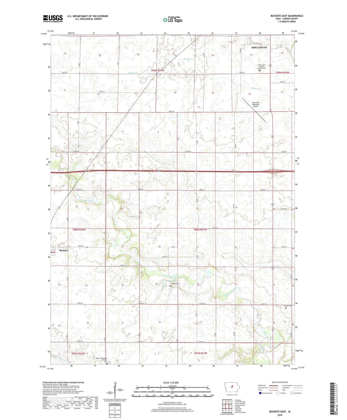
2022 topographic map quadrangle Buckeye East in the state of Iowa. Scale: 1:24000. Based on the newly updated USGS 7.5' US Topo map series, this map is in the following counties: Hardin. The map contains contour data, water features, and other items you are used to seeing on USGS maps, but also has updated roads and other features. This is the next generation of topographic maps. Printed on high-quality waterproof paper with UV fade-resistant inks.
Quads adjacent to this one:
West: Buckeye West
Northwest: Popejoy
North: Iowa Falls West
Northeast: Iowa Falls East
East: Owasa
Southeast: New Providence
South: Hubbard
Southwest: Radcliffe
This map covers the same area as the classic USGS quad with code o42093d3.
Contains the following named places: Buckeye, Buckeye City Hall, Buckeye Co-op Elevator, Buckeye Fire Department Station 1, Buckeye Fire Department Station 2, Buckeye Post Office, Cottage, Cottage Cemetery, Cottage Community Church, Cottage Post Office, Ellis, Ellis Church, Ellis Post Office, Gehrke Wildlife Area, Gehrkes Lake, Hansen Swamp Public Hunting Area, Iowa Falls Municipal Airport, Izaak Walton County Park, Lincoln Cemetery, Logsdon Park, Northlawn Memory Gardens Cemetery, Peace United Church of Christ, Pilgrim Creek, Racine, Robinson Wildlife Area, Sielaff Helo Pad Heliport, Tipton Norwegian Lutheran Cemetery, Township of Ellis, Twin Elms Access Area, ZIP Code: 50126