MyTopo
Collins Iowa US Topo Map
Couldn't load pickup availability
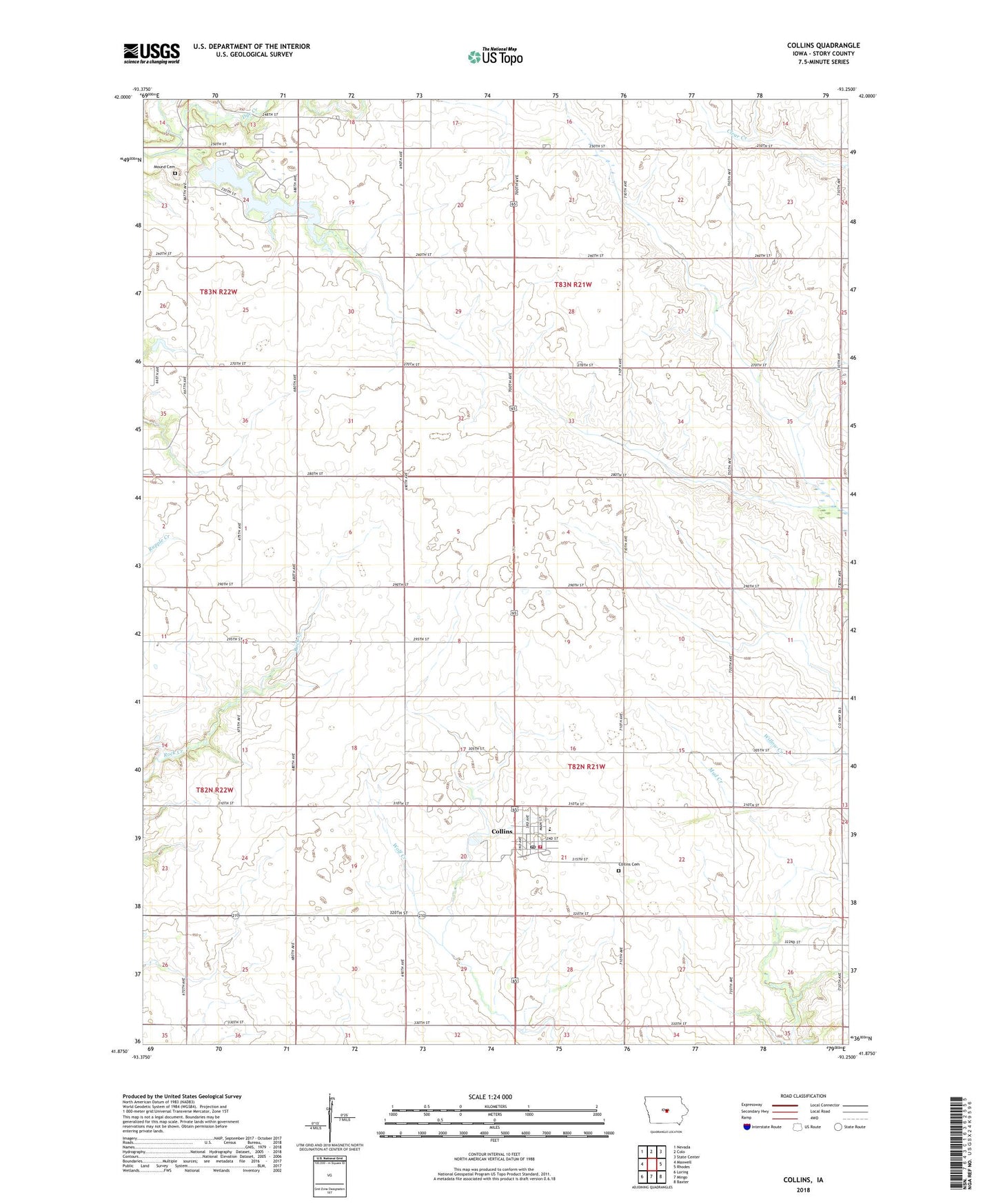
2022 topographic map quadrangle Collins in the state of Iowa. Scale: 1:24000. Based on the newly updated USGS 7.5' US Topo map series, this map is in the following counties: Story. The map contains contour data, water features, and other items you are used to seeing on USGS maps, but also has updated roads and other features. This is the next generation of topographic maps. Printed on high-quality waterproof paper with UV fade-resistant inks.
Quads adjacent to this one:
West: Maxwell
Northwest: Nevada
North: Colo
Northeast: State Center
East: Rhodes
Southeast: Baxter
South: Mingo
Southwest: Loring
This map covers the same area as the classic USGS quad with code o41093h3.
Contains the following named places: City of Collins, Collins, Collins - Maxwell Elementary School, Collins Cemetery, Collins Christian Church, Collins City Hall, Collins Fire and Rescue, Collins Post Office, Collins Public Library, Dye Creek, Farmers Elevator Company Elevator, Heart of Iowa Nature Trail, Hickory Grove County Park, Hickory Grove Lake, Hickory Grove Lake Dam, Mound Cemetery, Township of Collins, Township of New Albany, United Methodist Church, ZIP Code: 50055