MyTopo
Marmaton Kansas US Topo Map
Couldn't load pickup availability
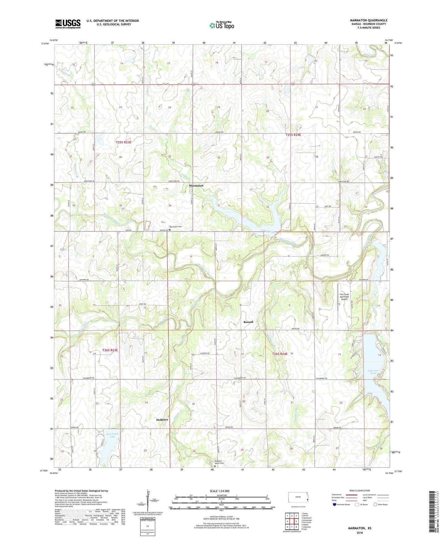
2022 topographic map quadrangle Marmaton in the state of Kansas. Scale: 1:24000. Based on the newly updated USGS 7.5' US Topo map series, this map is in the following counties: Bourbon. The map contains contour data, water features, and other items you are used to seeing on USGS maps, but also has updated roads and other features. This is the next generation of topographic maps. Printed on high-quality waterproof paper with UV fade-resistant inks.
Quads adjacent to this one:
West: Uniontown
Northwest: Xenia
North: Devon
Northeast: Hammond
East: Fort Scott
Southeast: Cato
South: Hiattville
Southwest: Hepler
This map covers the same area as the classic USGS quad with code o37094g7.
Contains the following named places: Bethal Community Church, Bethel School, Bourbon County, Bourbon County Dam, Cedar Creek, Chambers Branch, Elm Creek, Elm Creek Lake, Elm Creek Lake County Park, Fort Scott Municipal Airport, Fort Scott Municipal Dam, Gilfillan, Harmony School, Hollister, Hollister Wildlife Area, Jubilee School, Lake Fort Scott, Marmaton, Marmaton Cemetery, Ozark School, Paint Creek, Pawnee Creek, Pleasant Valley Cemetery, Pleasant Valley Church, Robinson Branch, Rock Creek, Rock Creek Lake, Rock Creek Lake Dam, Ronald, Schofield School, Township of Marmaton, Union Bend School, West Plains School, ZIP Code: 66701