MyTopo
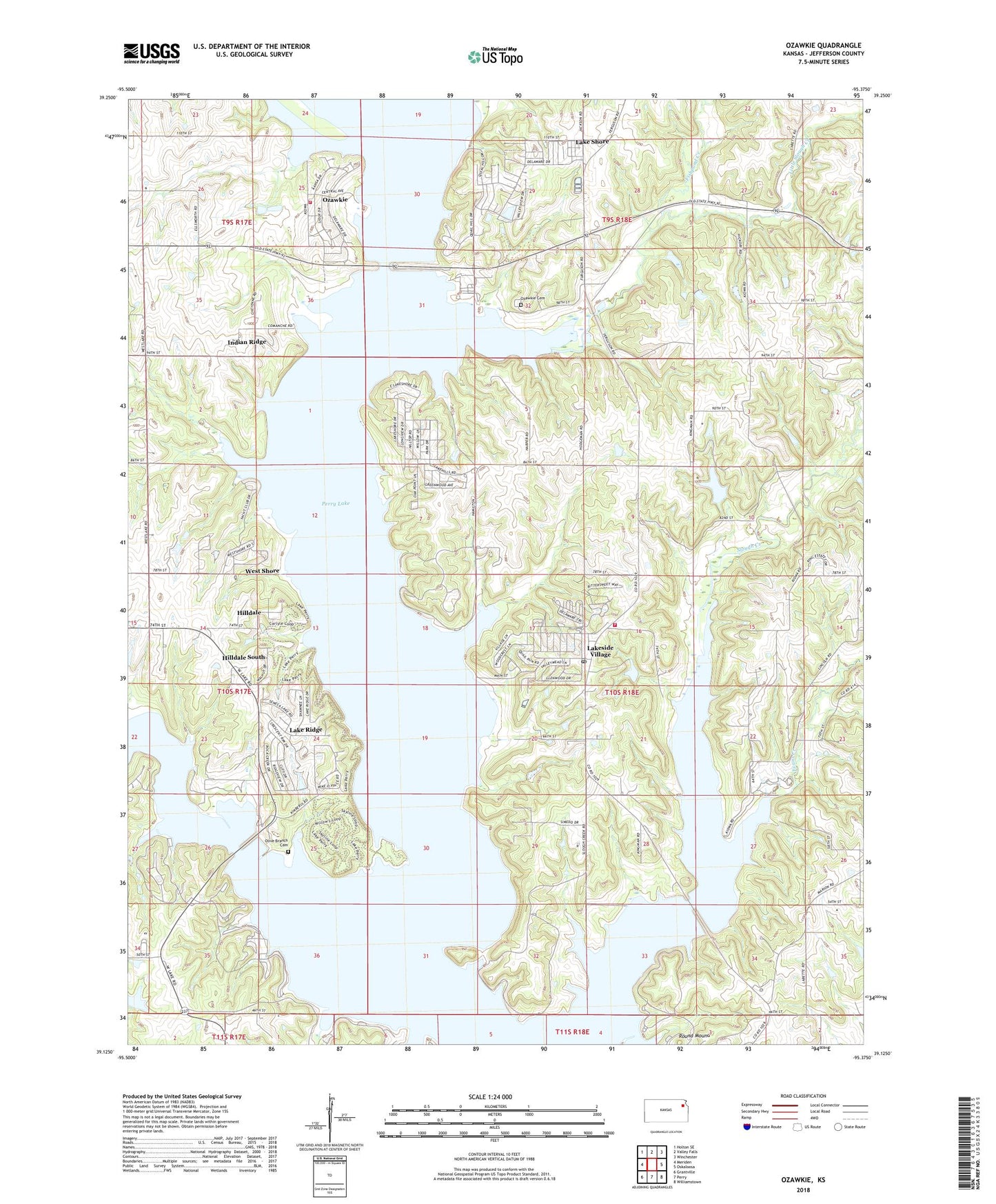
Ozawkie Kansas US Topo Map
Couldn't load pickup availability
2023 topographic map quadrangle Ozawkie in the state of Kansas. Scale: 1:24000. Based on the newly updated USGS 7.5' US Topo map series, this map is in the following counties: Jefferson. The map contains contour data, water features, and other items you are used to seeing on USGS maps, but also has updated roads and other features. This is the next generation of topographic maps. Printed on high-quality waterproof paper with UV fade-resistant inks.
Quads adjacent to this one:
West: Meriden
Northwest: Holton SE
North: Valley Falls
Northeast: Winchester
East: Oskaloosa
Southeast: Williamstown
South: Perry
Southwest: Grantville
This map covers the same area as the classic USGS quad with code o39095b4.
Contains the following named places: Camp Jayhawk, City of Ozawkie, Delaware State Park, Evans Creek, Fairview Township Fire Department District 6, Fishpond Creek, Hilldale, Hilldale South, Indian Ridge, Jacksonville, Jefferson County, Jefferson County Fire District Number 7, Jefferson County Sewer District Number 6, Jefferson County Sewer District Number 7, Keystone Learning Services School, Lake Perry Country Club, Lake Ridge, Lake Shore, Lakeside Village, Lakeside Village Campgrounds, Little Slough Creek, Longview Public Use Area, Lowry School, Old Town Public Use Area, Olive Branch Cemetery, Ozawkie, Ozawkie Cemetery, Ozawkie Post Office, Ozawkie Township Hall, Perry Lake, Perry Public Use Area, Perry State Park, Perry State Park Cottonwood Bridge Campground, Perry State Park Cougar Pass Campground, Perry State Park Eagle Landing Campground, Perry State Park Hobie Cove Campground, Perry State Park North Boat Ramp, Perry State Park Office, Perry State Park Pelican Point Campground, Perry State Park South Boat Ramp, Perry State Park Wild Horse Campground, Pleasant Hill, Rock Creek Marina, Round Mound, Slough Creek Public Use Area, Township of Fairview, West Shore, Wind-N-Wave, ZIP Code: 66070


