MyTopo
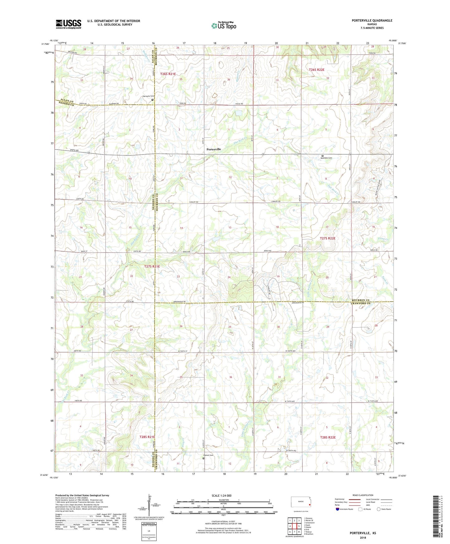
Porterville Kansas US Topo Map
Couldn't load pickup availability
2022 topographic map quadrangle Porterville in the state of Kansas. Scale: 1:24000. Based on the newly updated USGS 7.5' US Topo map series, this map is in the following counties: Bourbon, Crawford, Neosho, Allen. The map contains contour data, water features, and other items you are used to seeing on USGS maps, but also has updated roads and other features. This is the next generation of topographic maps. Printed on high-quality waterproof paper with UV fade-resistant inks.
Quads adjacent to this one:
West: Stark
Northwest: Elsmore
North: Moran SE
Northeast: Uniontown
East: Hepler
Southeast: Brazilton
South: Walnut
Southwest: Erie
This map covers the same area as the classic USGS quad with code o37095f1.
Contains the following named places: Harmony Cemetery, Highland School, Independence School, Liberty School, Mound Valley School, Mount Pleasant Church, Mount Pleasant School, Pleasant Dale School, Porterville, Raymond School, Rosedale Cemetery, Science Hill School, Sunrise School, Walnut Cemetery