MyTopo
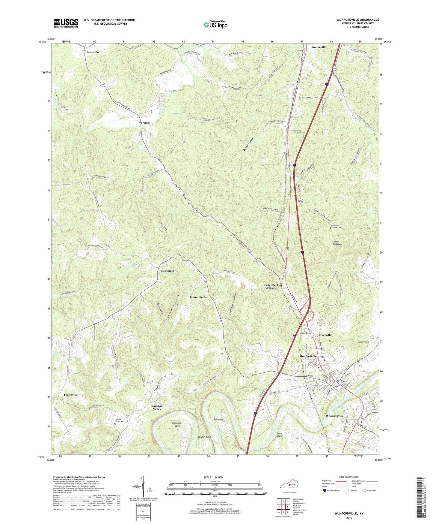
Munfordville Kentucky US Topo Map
Couldn't load pickup availability
2022 topographic map quadrangle Munfordville in the state of Kentucky. Scale: 1:24000. Based on the newly updated USGS 7.5' US Topo map series, this map is in the following counties: Hart. The map contains contour data, water features, and other items you are used to seeing on USGS maps, but also has updated roads and other features. This is the next generation of topographic maps. Printed on high-quality waterproof paper with UV fade-resistant inks.
Quads adjacent to this one:
West: Cub Run
Northwest: Millerstown
North: Upton
Northeast: Hammonville
East: Canmer
Southeast: Park
South: Horse Cave
Southwest: Mammoth Cave
This map covers the same area as the classic USGS quad with code o37085c8.
Contains the following named places: Bacon Creek Bridge Historical Marker, Battle of Munfordville Historical Marker, Battle of Rowletts Station Historical Marker, Big Bottom, Campground United Methodist Church, Carter-Dowling School, Chestnut Grove Cemetery, City of Munfordville, Concord Church, Cove Hollow, Dawson Hollow, Devils Backbone, Dividing Ridge, Forestville, Glen Lily Historical Marker, Hart County, Hart County Ambulance Service, Hart County Historical Marker, Hart County Sheriff's Office, Henry Clay Furnace Historical Marker, Hubbard Cemetery, Kessinger, L and N Railroad Bridge Historical Marker, Leitchfield Crossing, Little Flock Church, Logsdon Valley, Logsdon Valley Cemetery, Mansfield Bend, Morning Star Baptist Church, Mount Beulah, Mount Olivet Church, Mount Vernon Baptist Church, Munfordville, Munfordville Division, Munfordville Fire and Rescue, Munfordville Police Department, Munfordville Post Office, Munfordville Presbyterian Church Historical Marker, Perryville, Pleasant Hill Church, Possum Hollow, Priceville, Priceville Fire Department, Rader Hollow, Rocky Hill Church, Row Bend, Rush Island, Skullbone Hollow, Tanyard Hollow, Thelma Hawkins Stovall Historical Marker, Town Knob, Wilkerson Temple, WLOC-AM (Munfordville), WLOC-FM (Munfordville), Woodsonville, ZIP Code: 42765


