MyTopo
Horse Cave Kentucky US Topo Map
Couldn't load pickup availability
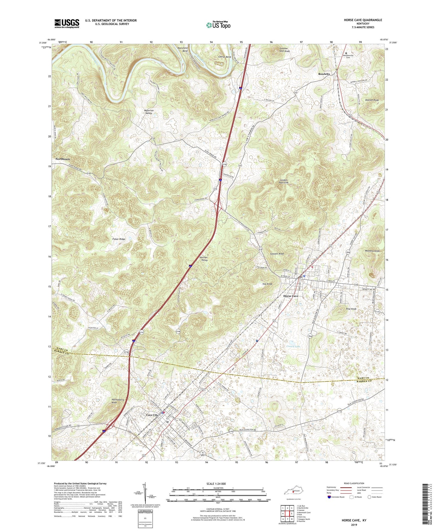
2022 topographic map quadrangle Horse Cave in the state of Kentucky. Scale: 1:24000. Based on the newly updated USGS 7.5' US Topo map series, this map is in the following counties: Hart, Barren. The map contains contour data, water features, and other items you are used to seeing on USGS maps, but also has updated roads and other features. This is the next generation of topographic maps. Printed on high-quality waterproof paper with UV fade-resistant inks.
Quads adjacent to this one:
West: Mammoth Cave
Northwest: Cub Run
North: Munfordville
Northeast: Canmer
East: Park
Southeast: Hiseville
South: Glasgow North
Southwest: Park City
This map covers the same area as the classic USGS quad with code o37085b8.
Contains the following named places: Cave City, Cave City Fire Department, Cave City Police Department, Cave City Post Office, Cave City Raid Historical Marker, Cave Spring Church, Caverna High School, Cedar Cliff Church, City of Cave City, City of Horse Cave, Creacy Lake, Fisher Ridge, Friendship Church, General Joseph Horace Lewis Historical Marker, Gossett Knob, Hatcher Valley, Horse Cave, Horse Cave Division, Horse Cave Fire Department, Horse Cave Lookout Tower, Horse Cave Police Department, Horse Cave Post Office, Huckleberry Knob, Lawler Bend, London Pace Sink, New Hope Church, Our Lady of the Caves Church, Pine Knob, Rowletts, Servant Valley Church, Shady Grove Church, Summer Seat Knob, The Medical Center At Caverna - Hospital, Vial Knob, Waterloo Valley, Woodsonville Memorial Gardens, ZIP Code: 42749


