MyTopo
Orangeburg Kentucky US Topo Map
Couldn't load pickup availability
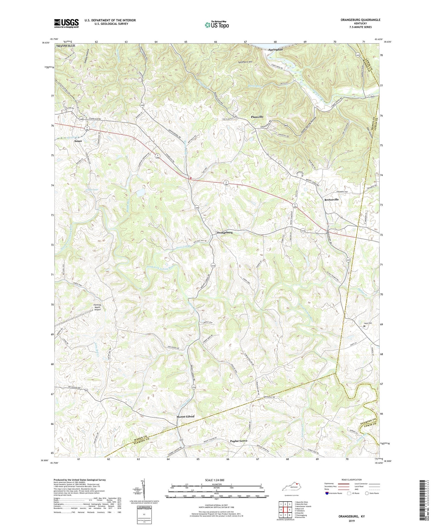
2022 topographic map quadrangle Orangeburg in the state of Kentucky. Scale: 1:24000. Based on the newly updated USGS 7.5' US Topo map series, this map is in the following counties: Mason, Fleming, Lewis. The map contains contour data, water features, and other items you are used to seeing on USGS maps, but also has updated roads and other features. This is the next generation of topographic maps. Printed on high-quality waterproof paper with UV fade-resistant inks.
Quads adjacent to this one:
West: Mays Lick
Northwest: Maysville West
North: Maysville East
Northeast: Manchester Islands
East: Tollesboro
Southeast: Burtonville
South: Flemingsburg
Southwest: Elizaville
This map covers the same area as the classic USGS quad with code o38083e6.
Contains the following named places: Antioch Church, Bairds Run, Bernard Post Office, Bethany Church of Christ, Cabin Creek, Camp Spring Hollow, Farrows Creek, Farrows Mill Post Office, Fleming-Mason Airport, Grant Lake, Indian Run, Middle Run, Mount Gilead, Mount Gilead Post Office, Mount Olivet Church, Nash Cemetery, Oak Woods Church, Orangeburg, Orangeburg Volunteer Fire Department, Owl Hollow, Phillips Creek, Plaineview Church, Plumville, Plumville Post Office, Poplar Grove, Rectorville, Rectorville Elementary School, Rectorville Post Office, Somo, Springdale, Springdale Post Office, Stewart Church, Stone Lick Baptist Church, Stone Lick Branch, Sycamore Hill, Taylors Mill, The Dead Fall, Turkey Run, Williamsburg-Orangeburg Historical Marker